Alto Paraguay, Administrative department in northern Paraguay
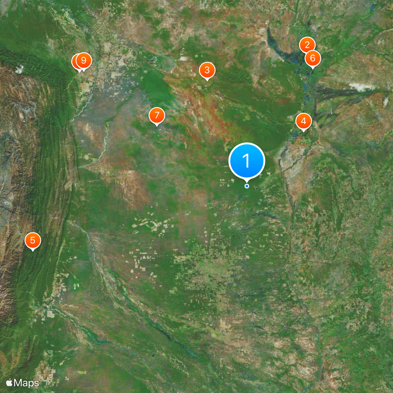
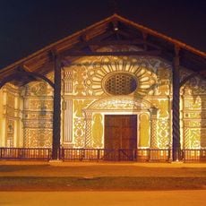
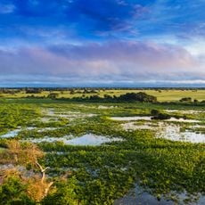
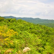
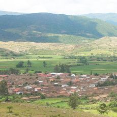
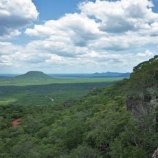
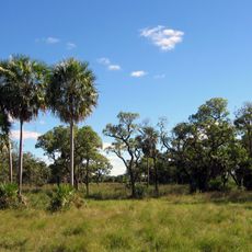
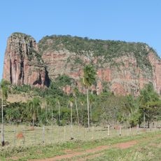
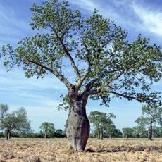
Alto Paraguay is a large administrative region in northern Paraguay that spreads across open grasslands and river valleys. The territory encompasses different environments, from wetter areas in the south to drier Chaco landscape in parts of the north.
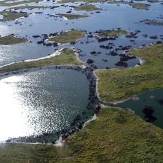
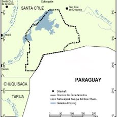
The region was originally inhabited by indigenous peoples before Spanish colonial rule brought new administrative structures. In 1992, territorial boundaries were redrawn to create a fresh administrative framework for the north.
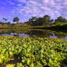
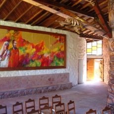
Indigenous communities live throughout the region, and their traditions shape how people work the land and prepare food in their daily lives. You can see these customs reflected in local crafts and the way families manage their cattle ranches.
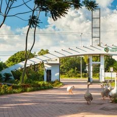
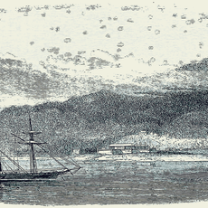
The Paraguay River is the main transportation route, and many places are best reached by boat as road connections are limited. Plan extra time for travel and ask locally about current boat options, as infrastructure remains basic throughout the region.
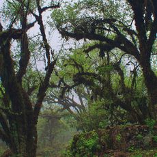
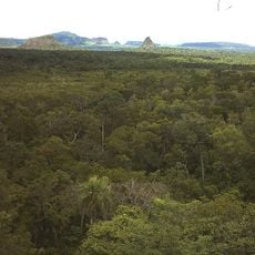
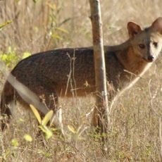
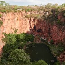
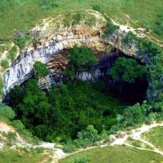
The Defensores del Chaco National Park here is home to rare wildlife like pumas and jaguars that roam different habitats across the landscape. The park remains difficult to reach, but visitors willing to invest time can experience this untouched ecosystem firsthand.
Location: Paraguay
Inception: 1945
Capital city: Fuerte Olimpo
Part of: South America Midwest Integrated Zone
Shares border with: Concepción Department, Presidente Hayes, Boquerón Department, Mato Grosso do Sul, Santa Cruz Department
GPS coordinates: -20.50000,-59.00000
Latest update: December 20, 2025 15:02
Pantanal
379.5 km
Chiquitania
297.5 km
Maciço do Urucum
206.4 km
Tariquía Flora and Fauna National Reserve
578.2 km
Pantanal Matogrossense National Park
354.3 km
Kaa-Iya del Gran Chaco National Park and Integrated Management Natural Area
284.6 km
Parque Urbano
532 km
Jardín Botánico de Santa Cruz de la Sierra
524.9 km
Cerro Cora National Park
377.2 km
Serra da Bodoquena National Park
247.9 km
Otuquis National Park and Integrated Management Natural Area
132.5 km
Blue Lake Cave
260.7 km
Aguaragüe Integrated Management Natural Area
490.8 km
Iñao National Park and Integrated Management Natural Area
528.5 km
Fort of Coimbra
141.7 km
Parque nacional Histórico Santa Cruz La Vieja
345.6 km
Defensores del Chaco National Park
141.4 km
Parque Urbano Central
532 km
Buraco das Araras
291.6 km
Santuario Mariano de la Torre
285 km
Buraco das Araras
291.6 km
Cerro Memby
375.4 kmParque nacional Tinfunqué
410.8 km
Parque Nacional Teniente Enciso
231.3 km
Eurico Gaspar Dutra Bridge
191.3 kmPantanal Biosphere Reserve
385.1 kmPailas Bridge
507.3 kmReserva natural El Corbalán
382.2 kmVisited this place? Tap the stars to rate it and share your experience / photos with the community! Try now! You can cancel it anytime.
Discover hidden gems everywhere you go!
From secret cafés to breathtaking viewpoints, skip the crowded tourist spots and find places that match your style. Our app makes it easy with voice search, smart filtering, route optimization, and insider tips from travelers worldwide. Download now for the complete mobile experience.
A unique approach to discovering new places❞
— Le Figaro
All the places worth exploring❞
— France Info
A tailor-made excursion in just a few clicks❞
— 20 Minutes