Canindeyú, Administrative department in northeastern Paraguay
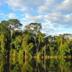
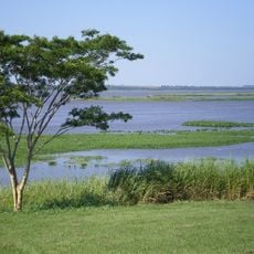
Canindeyú is an administrative department in northeastern Paraguay with rolling hills and fertile lands spread across the region. The area features a mix of agricultural terrain and natural landscape typical of eastern Paraguay.
The department was created in 1973 when three larger administrative areas were divided to form this new territory. This recent reorganization established the current administrative boundaries that shape the region today.
The name Canindeyú comes from Guaraní words referring to a yellow macaw that once filled these forests. Local communities still speak Guaraní in daily life, keeping this language alive in the region.
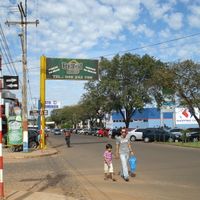
The capital city of Salto del Guairá serves as the main hub with shops and services that draw visitors from surrounding areas. When exploring beyond the city, roads can be variable, so it helps to plan ahead and ask locally for current conditions.
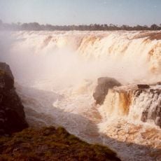
The region protects sections of the Atlantic Forest through reserves like Mbaracayú, one of the most biodiverse forests in South America. These protected areas are accessible to visitors interested in seeing rare species in their natural habitat.
Location: Paraguay
Capital city: Saltos del Guairá
Part of: South America Midwest Integrated Zone
Shares border with: Alto Paraná Department, Caaguazú Department, San Pedro Department, Amambay Department, Mato Grosso do Sul, Paraná
GPS coordinates: -24.21972,-55.14306
Latest update: December 13, 2025 22:39
Guaíra Falls
88.8 km
Ayrton Senna Bridge
92.5 km
The Bosque Mbaracayú Biosphere Reserve
21.7 km
Mbaracayú Forest Nature Reserve
32.7 km
Reserva Itabó
99.5 km
Reserva natural Morombí
46.4 km
Área de Proteção Ambiental das Ilhas e Várzeas do Rio Paraná
93.3 km
Ponte Ulysses Guimarães
92.5 km
São Geraldo
124.8 km
Barragem 1
86 km
São Geraldo
123.8 km
Quilombo Manoel Ciriáco dos Santos
95.3 km
Parque Nacional da Ilha Grande
90.9 km
Centro Histórico Cultural Bragadense
103.1 km
Salto Aguaray
118 km
Salto Karapá
34 km
Laguna Blanca
124.5 km
Centro Náutico Recreativo
90.6 km
Balneário de Santa Helena
107 km
Universidade de monumentos
107 km
Scenic viewpoint
41.2 km
Scenic viewpoint
34 km
Scenic viewpoint
53.4 km
Salto Karapá
34 km
Waterfall
53.5 km
Salto Itá Camby
53.4 km
Salto Jaguareté
49.9 km
Salto Querencia
35.9 kmVisited this place? Tap the stars to rate it and share your experience / photos with the community! Try now! You can cancel it anytime.
Discover hidden gems everywhere you go!
From secret cafés to breathtaking viewpoints, skip the crowded tourist spots and find places that match your style. Our app makes it easy with voice search, smart filtering, route optimization, and insider tips from travelers worldwide. Download now for the complete mobile experience.
A unique approach to discovering new places❞
— Le Figaro
All the places worth exploring❞
— France Info
A tailor-made excursion in just a few clicks❞
— 20 Minutes