Guaíra Falls

Log in to your account

AroundUs is a community-driven map of interesting places, built by curious explorers like you. It grows with every review, story, and photo you share.
Connect to save your favorite spots, contribute locations, and create personalized routes.
By continuing, you accept our Terms and Conditions and our Privacy Policy

Guaíra Falls

Add to collection
Map
Suggest a change
Share

Guaíra Falls, Former waterfall system in Paraná, Brazil and Paraguay

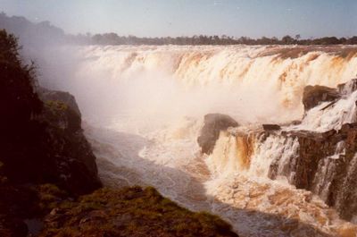
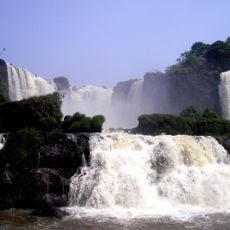
This system consisted of eighteen waterfalls distributed across seven distinct groups along the Paraná River, spanning a width of 4,828 meters (15,840 feet). The formation created a series of cataracts where water plunged through narrow rock channels and over steep granite formations. The arrangement created multiple separate cascades with varying heights and widths along the river course.

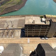
European explorers first documented the falls in the sixteenth century during early expeditions into the South American interior. The Brazilian and Paraguayan governments signed the Itaipu Treaty in 1973 to construct a hydroelectric dam downstream. Reservoir filling began in 1982, and within fourteen days the entire waterfall system disappeared beneath the artificial lake created for power generation.

Indigenous groups called the waterfalls Guaíra in Tupi-Guaraní language, referring to an impassable barrier that no one could traverse. For centuries the cascades formed a natural obstacle to river navigation and shaped the lives of communities along the Paraná. For native peoples they represented both a spiritual symbol and a practical impediment to trade routes through the interior.

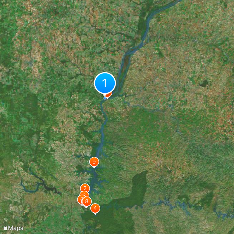
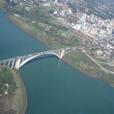
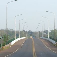
The location now lies beneath approximately 30 meters (98 feet) of water in the Itaipu reservoir along the Brazil-Paraguay border. Visitors can reach the nearby town of Guaíra, where local museums display photographs and artifacts from before the flooding. The region offers information panels documenting the geological formation and the vanished natural wonder.

Water plunging through the narrow gorge of 61 meters (200 feet) in depth produced a roar audible from 30 kilometers (19 miles) away. Before submersion the flow reached 49,000 cubic meters (1.7 million cubic feet) per second during high water season. This volume surpassed any other cascade in the Western Hemisphere and made the vanished system the most voluminous in the world.

Location: Saltos del Guairá

Elevation above the sea: 213 m

Height: 40 m

Width: 4,828 m

Part of: Paraná River

GPS coordinates: -24.07300,-54.28400

Latest update: November 27, 2025 21:13

Paraguay: museums, waterfalls, historic sites

Paraguay features a combination of natural sites, historical structures, and cultural institutions. In the capital Asunción, central buildings include the López Palace, the National Museum, and the National Pantheon of Heroes. The waterfront promenade runs along the river. The city contains several museums, including the Barro Museum with folk art and the Independence House. Religious structures include the Cathedral of Our Lady of the Assumption. The Botanical Garden includes a zoo. The Itapúa region contains two Jesuit reductions: Santísima Trinidad de Paraná and Jesús de Tavarangüé, both from the 17th and 18th centuries. In Ciudad del Este, the second largest city, modern shopping centers include Nissei and Monalisa, along with the Itaipú hydroelectric dam on the Brazilian border. The Monday Falls are located nearby. The Friendship Bridge connects Paraguay to Brazil. Natural areas include Lake Ypacaraí, a 90 square kilometer lake (35 square miles) near Asunción, and Ybycuí National Park with hiking trails and waterfalls. San Bernardino on the shores of Lake Ypacaraí has a viewpoint and a church. The Siete Saltos waterfalls are in the northern Salto del Guairá region.

Reviews

Visited this place? Tap the stars to rate it and share your experience / photos with the community! Try now! You can cancel it anytime.

« Guaíra Falls: Former waterfall system in Paraná, Brazil and Paraguay » is provided by Around Us (aroundus.com). Images and texts are derived from Wikimedia project under a Creative Commons license. You are allowed to copy, distribute, and modify copies of this page, under the conditions set by the license, as long as this note is clearly visible.

Discover hidden gems everywhere you go!

From secret cafés to breathtaking viewpoints, skip the crowded tourist spots and find places that match your style. Our app makes it easy with voice search, smart filtering, route optimization, and insider tips from travelers worldwide. Download now for the complete mobile experience.

Around Us App Screenshot

A unique approach to discovering new places

Le Figaro

All the places worth exploring

France Info

A tailor-made excursion in just a few clicks

20 Minutes