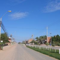
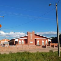
Boquerón Department, Administrative department in western Paraguay
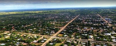
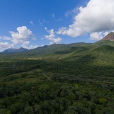
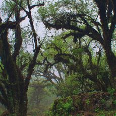
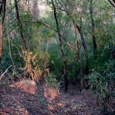
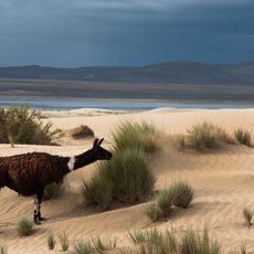
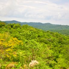
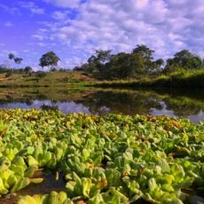
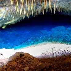
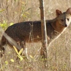
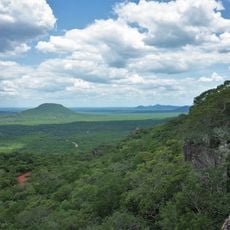
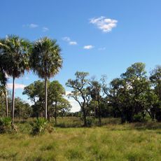
Boquerón Department is an administrative region in western Paraguay with diverse geographical features and varying climate zones across its territory. The landscape includes different terrain types and conditions, ranging from drier northern areas to moister southern zones.
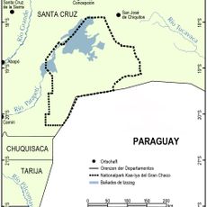
The department underwent significant territorial changes in 1945 when a portion separated to form a new region. Later, a reunification in 1992 established the current boundaries we see today.
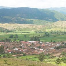
Several Indigenous groups such as the Nivaclé, Manjui, Guarayos, and Angaité peoples live across the territory, maintaining their traditions in their ancestral lands. Russian Mennonite settlements also dot the region, bringing their own cultural practices and ways of life to the area.
The region has multiple schools and medical facilities including hospitals and a regional health center to serve visitors and residents. When traveling through the area, it helps to know what services are available and prepare for varying local conditions.
Rainfall varies significantly between the northern and southern portions, with the north being much drier than the south. These contrasting conditions deeply shape how people and nature exist in different zones of the territory.
Location: Paraguay
Capital city: Filadelfia
Part of: South America Midwest Integrated Zone
Shares border with: Alto Paraguay, Presidente Hayes, Formosa Province, Salta Province, Tarija Department, Chuquisaca Department, Santa Cruz Department
GPS coordinates: -21.51667,-60.70000
Latest update: December 6, 2025 22:09
Chiquitania
398.3 km
Baritú National Park
421.2 km
Maciço do Urucum
414.2 km
Tariquía Flora and Fauna National Reserve
380 km
Kaa-Iya del Gran Chaco National Park and Integrated Management Natural Area
278.7 km
Casa Dorada, Tarija
417.7 km
Serra da Bodoquena National Park
418.6 km
Otuquis National Park and Integrated Management Natural Area
316.9 km
Aguaragüe Integrated Management Natural Area
300.3 km
Iñao National Park and Integrated Management Natural Area
408.6 km
Tarija Cathedral
417.9 km
Fort of Coimbra
351 km
Parque nacional Histórico Santa Cruz La Vieja
405.8 km
Defensores del Chaco National Park
157 km
Santuario Mariano de la Torre
382.5 km
Parque Nacional Teniente Enciso
65.9 km
Eurico Gaspar Dutra Bridge
401.1 km
Bolivian National Observatory at Tarija
406.3 km
Mary Help of Christians Cathedral, Fuerte Olimpo
298.1 km
Médanos del Chaco National Park
162.7 km
Floresta (Santa Cruz)
296.4 km
Cachoeira Boca da Onça
422.7 km
Misión de San José
408.7 km
Memorial do Homem Pantaneiro
423.9 km
Buraco do Macaco
421.5 km
Edificio Principal Casa Misional
388.7 km
Cathedral of Concepción, Paraguay
395.3 km
Portal de entrada de El Sauzalito
340.6 kmVisited this place? Tap the stars to rate it and share your experience / photos with the community! Try now! You can cancel it anytime.
Discover hidden gems everywhere you go!
From secret cafés to breathtaking viewpoints, skip the crowded tourist spots and find places that match your style. Our app makes it easy with voice search, smart filtering, route optimization, and insider tips from travelers worldwide. Download now for the complete mobile experience.
A unique approach to discovering new places❞
— Le Figaro
All the places worth exploring❞
— France Info
A tailor-made excursion in just a few clicks❞
— 20 Minutes