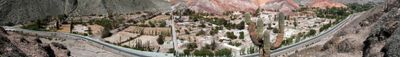
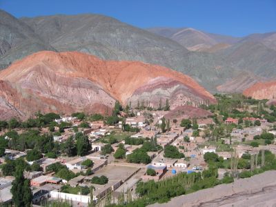
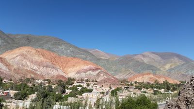
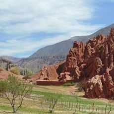
Purmamarca, Mountain village in Tumbaya Department, Argentina.
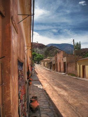
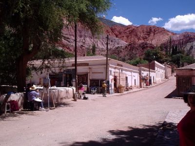
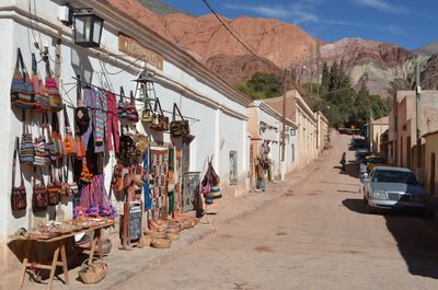
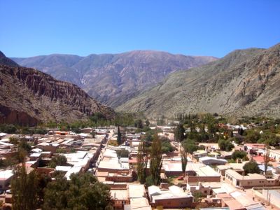
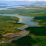
Purmamarca is a village of traditional adobe houses reinforced with cactus wood beams, where red earth roads converge around a central square. It sits in a valley dominated by a distinctive mountain displaying colorful mineral layers.
The village originated in the 16th century as a settlement on the Inca Trail and served as a connection between different regions. This strategic location shaped its role as an important contact point during the colonial era.
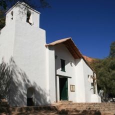
The Santa Rosa de Lima Church showcases paintings from the Cusco School that continue to shape the region's colonial religious heritage. Visitors can experience the craftsmanship and spiritual meaning this place holds for the local community.
Visitors should arrive in the morning when sunlight best reveals the mineral colors of the surrounding mountains. Sturdy footwear is recommended as roads are unpaved and terrain can be uneven.
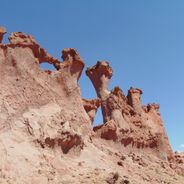
The Cerro de los Siete Colores mountain displays natural mineral layers in red, yellow, green, and purple formed through different geological processes. These colored bands are the result of millions of years of erosion and sediment deposition.
The community of curious travelers
AroundUs brings together thousands of curated places, local tips, and hidden gems, enriched daily by 60,000 contributors worldwide.