Urubici, Mountain municipality in Santa Catarina, Brazil
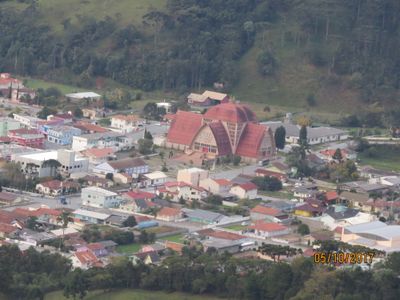
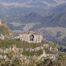
Urubici is a mountain municipality in Santa Catarina in southern Brazil, spread across roughly 1,000 square kilometers of elevated terrain. The landscape sits at about 915 meters in elevation and features steep hills, valleys, and rural settlements scattered throughout.
Indigenous peoples originally inhabited the region before European groups arrived and established settlements in the area. The location became an independent municipality in 1956.
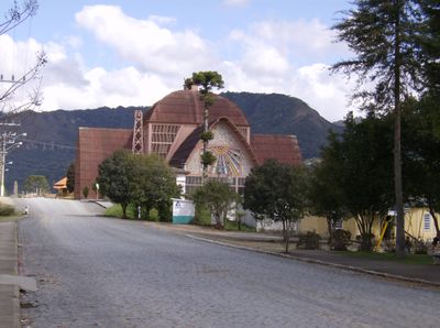
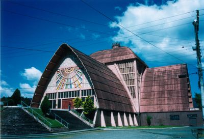
Local communities have roots in Portuguese, Italian, German, African, and Latvian heritage that show up in regional festivals and the way neighborhoods are built. These different influences shape how the place looks and feels through its architecture and social gatherings.
The SC-110 highway connects the area to larger cities including São Joaquim, Lages, Tubarão, and Criciúma in the region. Visitors should prepare for mountainous terrain and changing weather, especially during the colder months.
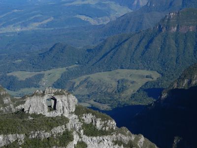
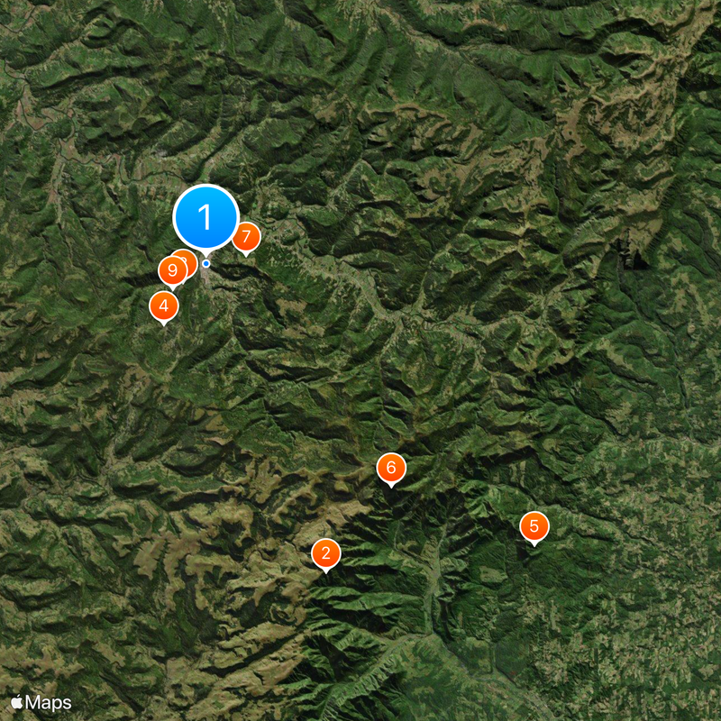
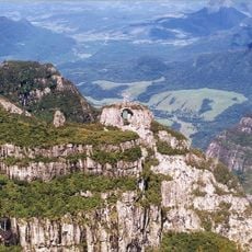
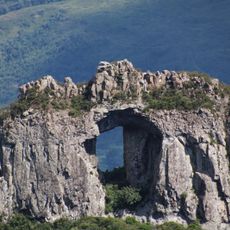
A peak called Morro da Igreja in this area holds the record for the coldest temperature ever recorded in Brazil. This extreme cold occurs because the summit rises over 1,800 meters and faces intense freezing conditions during winter months.
The community of curious travelers
AroundUs brings together thousands of curated places, local tips, and hidden gems, enriched daily by 60,000 contributors worldwide.