Enable Location

We need your location to show you interesting places around you

Discover nearby places

Find interesting locations and hidden gems around you

Precise directions

Get accurate directions and distances to places

Your location is never shared with other users. It's only used when you tap the location button.

Mandirituba

Log in to your account

Start exploring — it's free

Trusted by 63,118 travelers worldwide

Continue with Google
Continue with Apple
or

We will send you a code to connect

By continuing, you accept our Terms and Conditions and our Privacy Policy

Check your inbox

We've sent a pincode in your inbox. Please enter the code below.

Discussion Reviews 1 Photos
12.5k Popularity

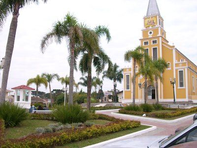
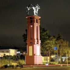
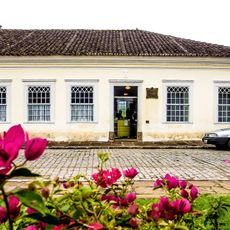
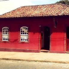
Mandirituba, Municipality in metropolitan region of Curitiba, Brazil

Mandirituba sits at 870 meters elevation in Paraná state and encompasses agricultural areas alongside nature reserves throughout its territory. The landscape is dominated by chamomile fields and rural scenery typical of the region.

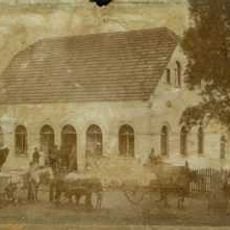
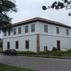
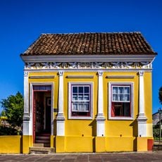
The area became an official municipality in 1960 after developing from scattered settlements into a structured administrative unit. This shift marked the transition from isolated farming communities into an organized municipality.

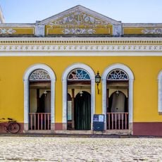
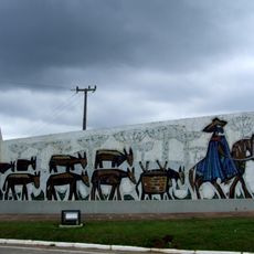
The people here descend from Portuguese, Polish, Ukrainian, Italian, and German settlers whose farming customs remain visible in how the land is worked today.

The best time to visit is August when the International Walk in Nature festival happens and local growers display their chamomile harvest. You can observe the farming cycle and explore the rural layout of the place during this period.

This place is Latin America's largest chamomile producer and supplies a significant portion of Brazil's medicinal herb market. This specialized production has developed over decades into the economic backbone of the region.

The community of curious travelers

AroundUs brings together thousands of curated places, local tips, and hidden gems, enriched daily by 60,000 contributors worldwide.

Start exploring
Location
Inception
1960
Elevation above the sea
870 m
Shares border with
Fazenda Rio Grande, Agudos do Sul, Araucária, Quitandinha, São José dos Pinhais, Tijucas do Sul
GPS coordinates
-25.77889,-49.32583
Latest update
December 7, 2025 20:44
Reviews
Share your experience

No review yet

Discussions
Start a discussion...

No discussion yet

« Mandirituba - Municipality in metropolitan region of Curitiba, Brazil » is provided by Around Us (aroundus.com). Images and texts are derived from Wikimedia project under a Creative Commons license. You are allowed to copy, distribute, and modify copies of this page, under the conditions set by the license, as long as this note is clearly visible.

Discover hidden gems everywhere you go!

From secret cafés to breathtaking viewpoints, skip the crowded tourist spots and find places that match your style. Our app makes it easy with voice search, smart filtering, route optimization, and insider tips from travelers worldwide. Download now for the complete mobile experience.

Around Us App Screenshot

A unique approach to discovering new places

Le Figaro

All the places worth exploring

France Info

A tailor-made excursion in just a few clicks

20 Minutes

Around Us
Travel Guide & Maps
Download

Send to your phone

QR Code
1

Open the camera app on your mobile.

2

Point at the QR code with your camera. A notification will appear.

3

Tap the notification to open the link.