Curiúva, Municipality in Northern Paraná, Brazil.
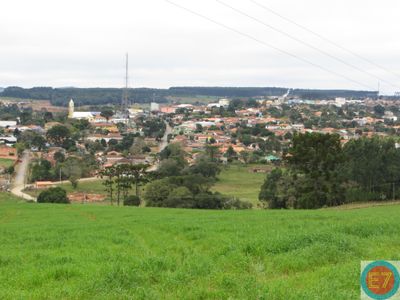
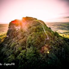
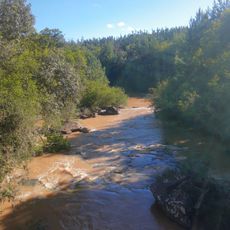
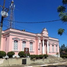
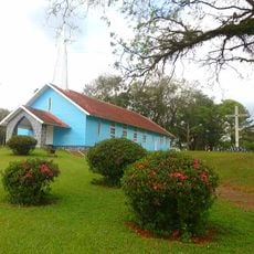
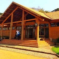
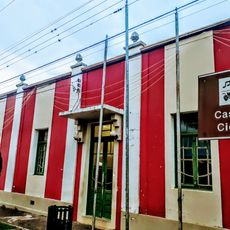
Curiúva is a municipality in northern Paraná that sits at an elevation of 776 meters in a hilly region. The town is surrounded by forests and agricultural lands as part of the Norte Pioneiro area of the state.
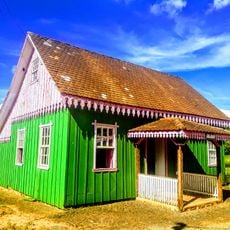
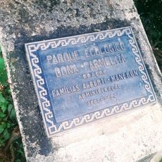
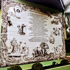
Portuguese explorers founded the settlement in 1693 and named it after the araucária seeds found throughout the region. Waves of German, Italian, Polish, and Ukrainian immigrants later arrived and shaped the community's character.
The name Curiúva comes from the Tupi language and refers to araucária seeds that once grew abundantly in the area. This linguistic heritage connects the community to both indigenous roots and the natural landscape that defined settlement here.
The municipality connects to larger cities through regional roads, making travel accessible for most visitors. Check road conditions before traveling, especially during the rainy season when some routes may become difficult.
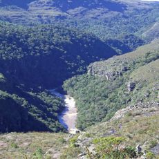
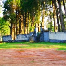
Native araucária trees grow naturally in the local forests and are a botanical signature of this southern Brazilian region. These tall conifers with their distinctive branching pattern can be spotted in the protected natural areas surrounding the municipality.
Location: Paraná
Elevation above the sea: 776 m
Shares border with: Sapopema, Figueira, Ibaiti, Ortigueira, Telêmaco Borba, Ventania
Website: http://curiuva.pr.gov.br
GPS coordinates: -24.03278,-50.45778
Latest update: December 7, 2025 20:45
Guartelá Canyon
60.6 km
Guartelá State Park
62.4 km
Telêmaco Borba Cable Car
35 km
Fazenda Velha
26.1 km
Pico Agudo
41.1 km
Parish Church of Piraí do Sul
77 km
Parque Ecológico Samuel Klabin
31.1 km
Piraí do Sul National Forest
69.7 km
Alegre River
34 km
Museu Casa do Colono de Tibagi
54.3 km
Museu Histórico Desembargador Edmundo Mercer Júnior
53.9 km
Teatro Municipal de Telêmaco Borba
37.5 km
Igreja Matriz da Paróquia Nossa Senhora dos Remédios de Tibagi
53.9 km
Parque Ecológico Dona Carmelita
54.4 km
Imóvel do antigo Grupo Escolar Telêmaco Borba e Reservatório de Água
54 km
Memorial do Garimpo
53.9 km
Cemetery of Harmonia
32.1 km
Obras de Poty Lazarotto - Painéis e Murais - Tibagi
75.1 km
Capela de Nossa Senhora do Perpétuo Socorro de Harmonia (Telêmaco Borba)
32.9 km
Teatro Municipal Tia Inália
54 km
Cemetery São Marcos (Telêmaco Borba)
37.5 km
Biblioteca Pública Municipal de Telêmaco Borba
37.6 km
Centro de Interpretação da Natureza Frans Krajcberg
31 km
Capela Santa Pastorina
57.5 km
Casa de Guataçara Borba Carneiro
54 km
Estádio Municipal Péricles Pacheco da Silva
38.2 km
Casa da Cidade Tibagi
54 km
Museu da Fauna e da Flora
31.1 kmVisited this place? Tap the stars to rate it and share your experience / photos with the community! Try now! You can cancel it anytime.
Discover hidden gems everywhere you go!
From secret cafés to breathtaking viewpoints, skip the crowded tourist spots and find places that match your style. Our app makes it easy with voice search, smart filtering, route optimization, and insider tips from travelers worldwide. Download now for the complete mobile experience.
A unique approach to discovering new places❞
— Le Figaro
All the places worth exploring❞
— France Info
A tailor-made excursion in just a few clicks❞
— 20 Minutes