
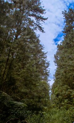
Capão Bonito National Forest, forêt nationale du Brésil
Location: São Paulo
Inception: 1968
GPS coordinates: -24.00000,-48.50000
Latest update: March 2, 2025 23:46
Alto Ribeira State and Tourist Park
48.9 km
Carlos Botelho State Park
57.5 km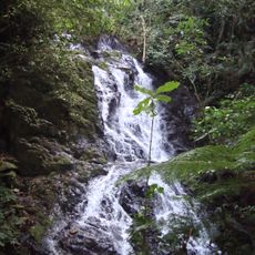
Intervales State Park
31.1 km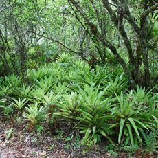
Atlantic Forest South-East Reserves
54.1 km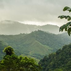
Mata Atlântica Biosphere Reserve
54.1 km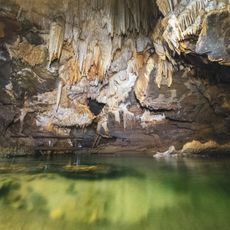
Caverna de Santana
63 km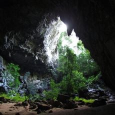
Temimina I and II Caves
44 km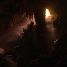
Caverna do Morro Preto
61.5 km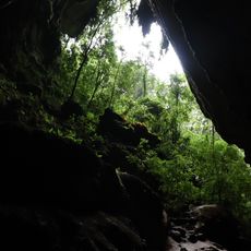
Couto Cave
62.4 km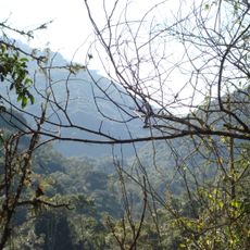
Paranapiacaba Conservation Units Mosaic
31.1 km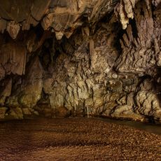
Caverna Água Suja
62.3 km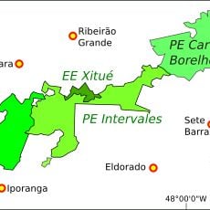
Xitué Ecological Station
35.5 km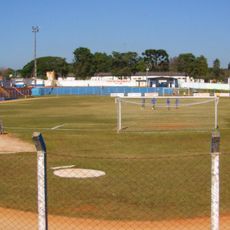
Estádio Municipal Doutor José Sidney da Cunha
15.6 km
Quilombos do Médio Ribeira Environmental Protection Area
64.6 km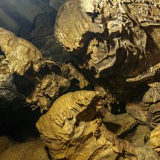
Caverna Ouro Grosso
63 km
Caverna das Aranhas
49.2 km
Caverna do Chapéu
48.9 km
(Histórico) Estação Ferroviária
39.8 km
Caverna Temimina II
43.4 km
Núcleo Caboclos
49 km
Cave Chapéu Mirim
49.1 km
Gruta Luminosa
32.6 km
Caverna Chapéu Mirim I
49.1 km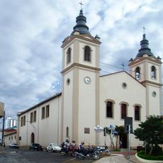
Cathedral of St. Ann, Itapeva
38.3 km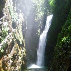
Cachoeira das Andorinhas
61.8 km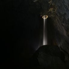
Caverna Temimina I
44 km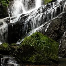
Cachoeira do Arcão
32.9 km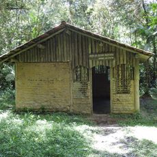
Museu de Cultura Tradicional Serra dos Motta
63.5 kmVisited this place? Tap the stars to rate it and share your experience / photos with the community! Try now! You can cancel it anytime.
Discover hidden gems everywhere you go!
From secret cafés to breathtaking viewpoints, skip the crowded tourist spots and find places that match your style. Our app makes it easy with voice search, smart filtering, route optimization, and insider tips from travelers worldwide. Download now for the complete mobile experience.

A unique approach to discovering new places❞
— Le Figaro
All the places worth exploring❞
— France Info
A tailor-made excursion in just a few clicks❞
— 20 Minutes