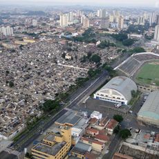
São Paulo Captaincy, Colonial administrative region in southeastern Brazil
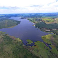
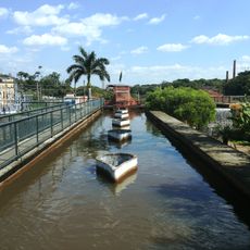
The São Paulo Captaincy was an administrative region stretching along the Brazilian coast from Cananéia to Bertioga with inland expansion into present-day Rio de Janeiro territory. This area grew beyond its original boundaries as settlement and exploration pushed further inland over time.
The captaincy was established in 1720 through a reorganization that created a new administrative structure under the Portuguese crown. It remained an important colonial division until it transitioned into a province in 1821 as Brazil moved toward independence.
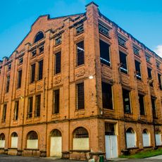
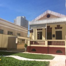
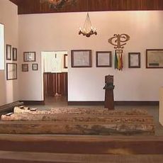
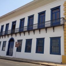
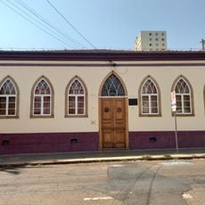
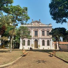
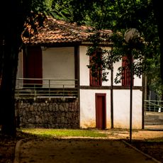
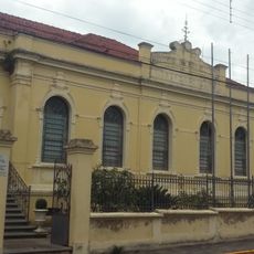
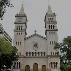
Visitors encounter stories of Portuguese settlers and indigenous groups whose interactions shaped settlement patterns across the region that can still be traced today. Museum displays and historical sites show how these two populations influenced the landscape and culture we see now.
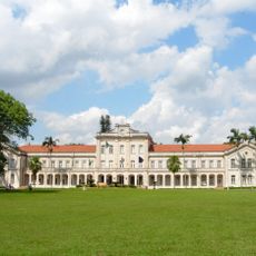
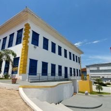
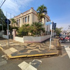
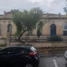
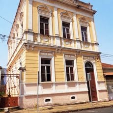
Today visitors can access archives and museums housing documents about the administrative structure and territorial evolution of this region. Planning a visit to these institutions helps understand how the captaincy was organized and how it changed over time.
This captaincy deliberately expanded beyond the original Tordesilhas Line, representing more aggressive inland growth than neighboring regions. This territorial push laid groundwork for Brazil's later westward expansion that shaped the country's modern borders.
The community of curious travelers
AroundUs brings together thousands of curated places, local tips, and hidden gems, enriched daily by 60,000 contributors worldwide.