Pirapozinho, Municipality in São Paulo, Brazil
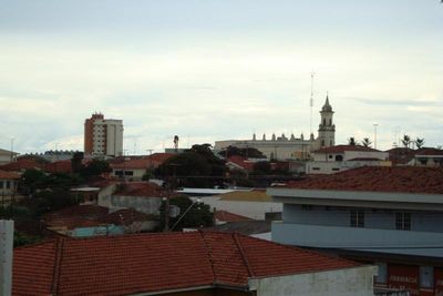
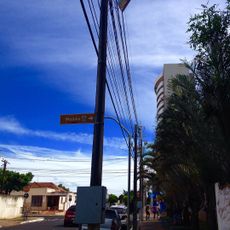
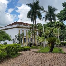
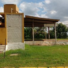
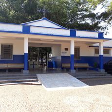
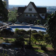
Pirapozinho is a municipality in São Paulo state, Brazil, situated in a region with rolling terrain at around 487 meters elevation. The town has schools, health centers, and public services that serve the local community and support everyday life.
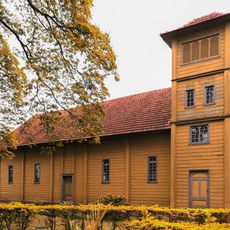
The area began to grow in the early 1900s when the Sorocabana railway line was built through the region. This rail connection brought commerce and settlement, transforming the territory from a rural frontier into an inhabited municipality.
The name comes from Tupi-Guarani words meaning jumping fish, a reference to the indigenous peoples who lived in this region long before the modern settlement. This linguistic heritage connects the place to its original inhabitants and their relationship with the natural environment.
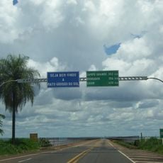
The terrain is hilly, so visitors should be prepared for uneven ground when exploring different areas. It helps to plan where you want to go beforehand, as services and points of interest are spread across the municipality.
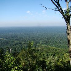
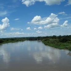
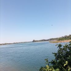
The municipality sits directly above the Guarani Aquifer, one of South America's largest underground water reserves. Rivers like the Santo Anastácio and Paranapanema form its borders and shape the local landscape.
The community of curious travelers
AroundUs brings together thousands of curated places, local tips, and hidden gems, enriched daily by 60,000 contributors worldwide.