Chest opened
+${chestReward.xp} XP
Explorer
NOUVEAU ×${chestReward.collectible.quantity}
tapez pour fermer
Chest locked

Open chests in the app

Around Us is built for your phone — chests unlock when you walk, explore and capture nearby places.

Enable Location

We need your location to show you interesting places around you

Discover nearby places

Find interesting locations and hidden gems around you

Precise directions

Get accurate directions and distances to places

Your location is never shared with other users. It's only used when you tap the location button.

Itapecerica da Serra

Log in to your account

Start exploring — it's free

Trusted by 72,981 travelers worldwide

Continue with Google
Continue with Apple
or

We will send you a code to connect

By continuing, you accept our Terms and Conditions and our Privacy Policy

Check your inbox

We've sent a pincode in your inbox. Please enter the code below.

Discussion Reviews 1 Photos
55.1k Popularity

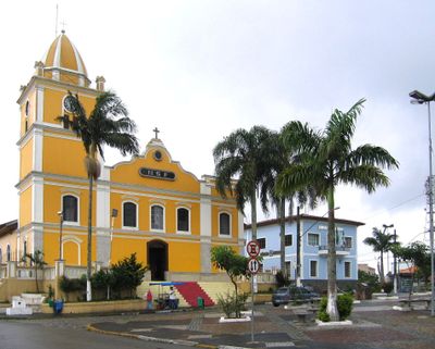
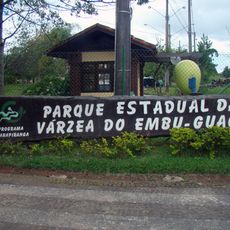
Itapecerica da Serra, Municipality in São Paulo Metropolitan Region, Brazil

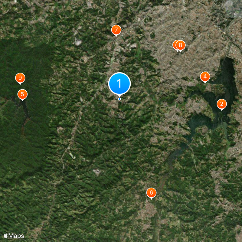
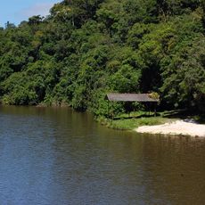
Itapecerica da Serra is a municipality southwest of São Paulo that extends across wooded hills and valleys. The settlement sits at roughly 920 meters elevation and combines residential areas with farmland on the edge of the metropolitan region.

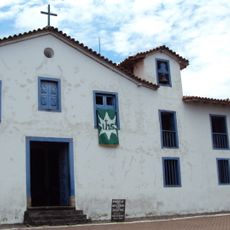
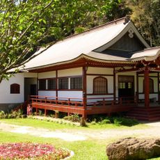
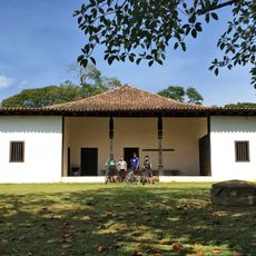
Jesuits founded a fortified post here in 1562 to secure routes between the coast and the interior. In the 19th century the place grew as a rest stop for travelers and traders before it developed into a municipality.

The name comes from the Tupi language and means slippery stone, a reminder of the time before European settlement. Today families live here who choose between proximity to the metropolis and a quieter daily life in the outskirts.

Public facilities such as schools and health posts are spread across the different districts and neighborhoods. Access is mostly via roads leading southwest from São Paulo.

Beneath the hills lie graphite seams that were mined in earlier times. At the same time some residents still cultivate small vegetable gardens and fruit orchards between the residential areas.

The community of curious travelers

AroundUs brings together thousands of curated places, local tips, and hidden gems, enriched daily by 60,000 contributors worldwide.

Start exploring
Location
Elevation above the sea
920 m
Shares border with
Embu das Artes, São Paulo, Embu-Guaçu, Cotia, São Lourenço da Serra
GPS coordinates
-23.71722,-46.84944
Latest update
December 14, 2025 17:26
Reviews
Share your experience

No review yet

Discussions
Start a discussion...

No discussion yet

« Itapecerica da Serra - Municipality in São Paulo Metropolitan Region, Brazil » is provided by Around Us (aroundus.com). Images and texts are derived from Wikimedia project under a Creative Commons license. You are allowed to copy, distribute, and modify copies of this page, under the conditions set by the license, as long as this note is clearly visible.

Discover hidden gems everywhere you go!

From secret cafés to breathtaking viewpoints, skip the crowded tourist spots and find places that match your style. Our app makes it easy with voice search, smart filtering, route optimization, and insider tips from travelers worldwide. Download now for the complete mobile experience.

Around Us App Screenshot

A unique approach to discovering new places

Le Figaro

All the places worth exploring

France Info

A tailor-made excursion in just a few clicks

20 Minutes

Around Us
Travel Guide & Maps
Download

Send to your phone

QR Code
1

Open the camera app on your mobile.

2

Point at the QR code with your camera. A notification will appear.

3

Tap the notification to open the link.