
Marsilac District, Administrative district in southern São Paulo, Brazil.
Marsilac is an administrative district in southern São Paulo that covers the largest land area within the city. The region contains extensive sections of Atlantic Forest and three former railway stations.
The district takes its name from engineer Jose Alfredo Marsilac, who developed innovative road construction techniques. Though he lost his vision in 1932, he left a lasting mark on the region's infrastructure.
The district preserves agricultural traditions through small farms where residents grow vegetables and sell them at local markets. This rural way of living shapes daily life and gives the place its distinct character.
The district sits roughly 60 kilometers from downtown São Paulo and connects to nearby municipalities through roads and former railway routes. The best time to visit is during drier months when roads are more passable.
The district has the lowest population density of the city and protects large forest areas under conservation status. This blend of sparseness and protected nature makes it an unexpected green refuge within the metropolis.
Location: São Paulo
GPS coordinates: -23.90839,-46.70611
Latest update: December 7, 2025 19:23
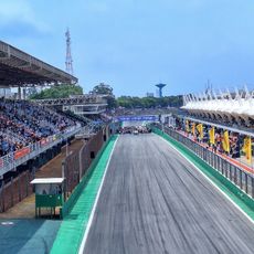
Autódromo José Carlos Pace
23.1 km
Parque da Mônica
25.7 km
Cidade Dutra District
21.7 km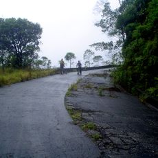
Estrada de manutenção da Ecovias
15.4 km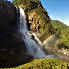
Serra do Mar State Park
8.8 km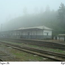
Evangelista de Souza
6.4 km
Sesc Interlagos
20.5 km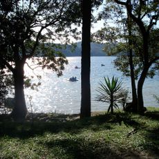
Parque Natural Estoril
24.6 km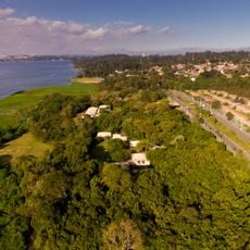
Parque Ecológico do Guarapiranga
23.7 km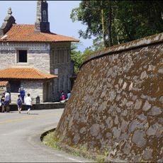
Rancho da Maioridade
26.3 km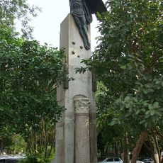
Heróis Da Travessia Do Atlântico
25.8 km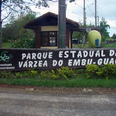
Parque Ecológico Várzea do Embu-Guaçu
14.5 km
Zoológico Municipal de São Bernardo do Campo
24.7 km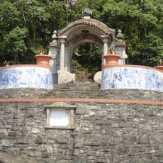
Padrão do Lorena
26.3 km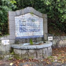
Tiled fountain on Rodovia Anchieta
22.9 km
Convento Nossa Senhora da Conceição
31.7 km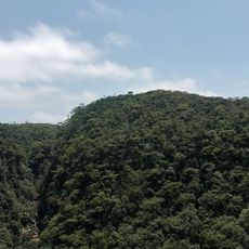
Cachoeira Itutinga
24.9 km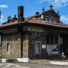
Pouso de Paranapiacaba
25.1 km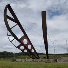
Monumento à Rodovia dos Imigrantes
14.6 km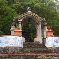
Estrada do Lorena, Monumentos de Victor Dubugras e Área de Mata Circundante
26.2 km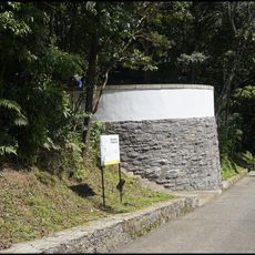
Belvedere Circular
26.1 km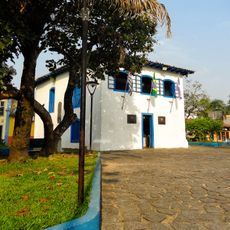
Casa de Câmara e Cadeia de Itanhaém
31.8 km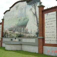
Mural da Rodovia dos Imigrantes
15.1 km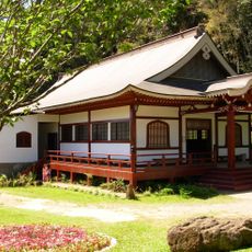
Enkoji
24.3 km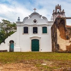
Church and Convent of Our Lady of the Conception
31.7 km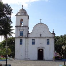
Parish Church of Santana
31.7 km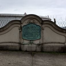
Pontilhão da Serra
28.1 km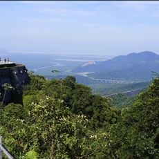
Curva do Uau
25.3 kmVisited this place? Tap the stars to rate it and share your experience / photos with the community! Try now! You can cancel it anytime.
Discover hidden gems everywhere you go!
From secret cafés to breathtaking viewpoints, skip the crowded tourist spots and find places that match your style. Our app makes it easy with voice search, smart filtering, route optimization, and insider tips from travelers worldwide. Download now for the complete mobile experience.

A unique approach to discovering new places❞
— Le Figaro
All the places worth exploring❞
— France Info
A tailor-made excursion in just a few clicks❞
— 20 Minutes