Ribeirão Pires, Metropolitan municipality in São Paulo, Brazil.
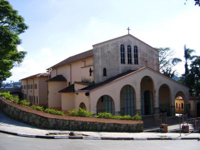
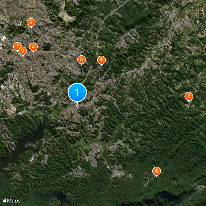
Ribeirão Pires is a municipality in São Paulo's metropolitan area situated on hilly terrain bordering several neighboring communities. The town has a central business district with shops, schools, and public services surrounded by residential neighborhoods and green spaces.
The municipality was established as an independent community in 1953 after separating from Santo André. This separation marked a turning point in local governance and development for the region.
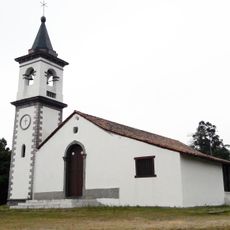
The town center reflects influences from different immigrant communities visible in shops and gathering spaces. Portuguese, Italian, and Japanese traditions shape everyday life and the regional cuisine found in local eateries.
The city connects to São Paulo via the CPTM train Line 10, offering regular service for commuters. Visitors should use the train for travel, as it provides the most reliable connection to the metropolitan area.
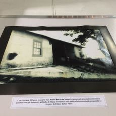
The Caminho do Marco is a preserved colonial-era path that once served as a key trade route through the mountainous region. This historical trail shows how people navigated the hilly terrain centuries ago.
Location: São Paulo
Inception: March 19, 1953
Elevation above the sea: 800 m
Shares border with: Ferraz de Vasconcelos, Mauá, Rio Grande da Serra, Santo André, Suzano
Website: http://ribeiraopires.sp.gov.br
GPS coordinates: -23.71083,-46.41278
Latest update: December 14, 2025 20:34
Magic City
10.3 km
Gruta de Santa Luzia park
3.8 km
Museu Barão de Mauá
6.4 km
Capela do Pilar
4.3 kmMonumento ao Divino Redentor
9.8 kmTeatro Municipal de Mauá
7.4 kmE. E. Professora Emiko Fujimoto
8.4 kmIgreja Matriz Imaculada Conceição
6.8 kmMarco 1925
7.4 kmCapela Cristo Rei
5.9 kmBioparque Macuco
8.3 kmCruzeiro de Pedra
5.1 kmFachada do Educandário Imaculado Coração de Maria
6.7 kmPraça 22 de Novembro
6.9 kmChaminé do Curtume
7.1 kmMoinho Fratelli Maciotta
472 m
Crystal Lake Trail of Paranapiacaba
7.7 kmTeatro do Cora
4.2 kmTeatro Municipal Euclides Menato
620 mTeatro Municipal Anselmo Haraldt Walendy
7.4 kmPedra do Elefante
9.1 kmGaleria do Fundo Social de Solidariedade
497 mGruta de Santa Luzia
3.7 kmGetúlio Vargas
6.6 kmMural Leão
4.4 kmRotary Club
7.5 kmClock, Work of art, clock tower, turret clock
7 kmMirante São José
410 mVisited this place? Tap the stars to rate it and share your experience / photos with the community! Try now! You can cancel it anytime.
Discover hidden gems everywhere you go!
From secret cafés to breathtaking viewpoints, skip the crowded tourist spots and find places that match your style. Our app makes it easy with voice search, smart filtering, route optimization, and insider tips from travelers worldwide. Download now for the complete mobile experience.
A unique approach to discovering new places❞
— Le Figaro
All the places worth exploring❞
— France Info
A tailor-made excursion in just a few clicks❞
— 20 Minutes