Enable Location

We need your location to show you interesting places around you

Discover nearby places

Find interesting locations and hidden gems around you

Precise directions

Get accurate directions and distances to places

Your location is never shared with other users. It's only used when you tap the location button.

Log in to your account

Start exploring — it's free

Trusted by 62,556 travelers worldwide

Continue with Google
Continue with Apple
or

We will send you a code to connect

By continuing, you accept our Terms and Conditions and our Privacy Policy

Check your inbox

We've sent a pincode in your inbox. Please enter the code below.

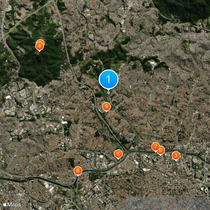
Pirituba District, Administrative district in northwestern São Paulo, Brazil.

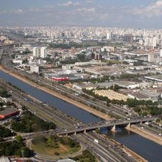
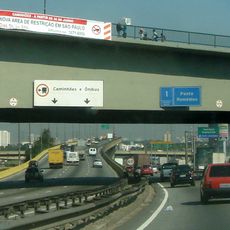
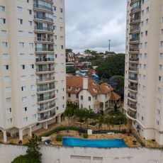
Pirituba is a district in northwestern São Paulo that combines residential neighborhoods, parks, and commercial zones throughout its layout. These areas connect through major transportation routes that link the district to central São Paulo.

A railway station opened in 1885, initiating the transformation from coffee plantations into urban settlement. This rail connection enabled the district to develop as a residential area for workers and commuters.

The district hosts sports facilities that serve as gathering places for residents, including one of Brazil's earliest rugby teams. These venues shape local social life and reflect how athletic traditions have become woven into community identity.

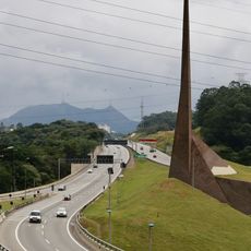
The district connects to downtown São Paulo through train service on the Santos-Jundiaí line and various bus routes. Public transportation options make it straightforward to navigate the area and reach other parts of the city.

The name derives from Tupi language words referring to the abundance of cattail plants that once grew in the district's marshy areas. This vegetation shaped the landscape before urban development transformed the region.

The community of curious travelers

AroundUs brings together thousands of curated places, local tips, and hidden gems, enriched daily by 60,000 contributors worldwide.

Start exploring
Location
Shares border with
Freguesia do Ó District, Jaraguá District, São Domingos District, Lapa District, Brasilândia District, Jaguara District
GPS coordinates
-23.47991,-46.73057
Latest update
December 14, 2025 20:26
« Pirituba District - Administrative district in northwestern São Paulo, Brazil » is provided by Around Us (aroundus.com). Images and texts are derived from Wikimedia project under a Creative Commons license. You are allowed to copy, distribute, and modify copies of this page, under the conditions set by the license, as long as this note is clearly visible.

Discover hidden gems everywhere you go!

From secret cafés to breathtaking viewpoints, skip the crowded tourist spots and find places that match your style. Our app makes it easy with voice search, smart filtering, route optimization, and insider tips from travelers worldwide. Download now for the complete mobile experience.

Around Us App Screenshot

A unique approach to discovering new places

Le Figaro

All the places worth exploring

France Info

A tailor-made excursion in just a few clicks

20 Minutes

Around Us
Travel Guide & Maps
Download

Send to your phone

QR Code
1

Open the camera app on your mobile.

2

Point at the QR code with your camera. A notification will appear.

3

Tap the notification to open the link.