Enable Location

We need your location to show you interesting places around you

Discover nearby places

Find interesting locations and hidden gems around you

Precise directions

Get accurate directions and distances to places

Your location is never shared with other users. It's only used when you tap the location button.

Log in to your account

Start exploring — it's free

Trusted by 63,140 travelers worldwide

Continue with Google
Continue with Apple
or

We will send you a code to connect

By continuing, you accept our Terms and Conditions and our Privacy Policy

Check your inbox

We've sent a pincode in your inbox. Please enter the code below.

Santo Amaro District
Discussion Reviews Photo
55.4k Popularity

Santo Amaro District, Administrative district in southern São Paulo, Brazil.

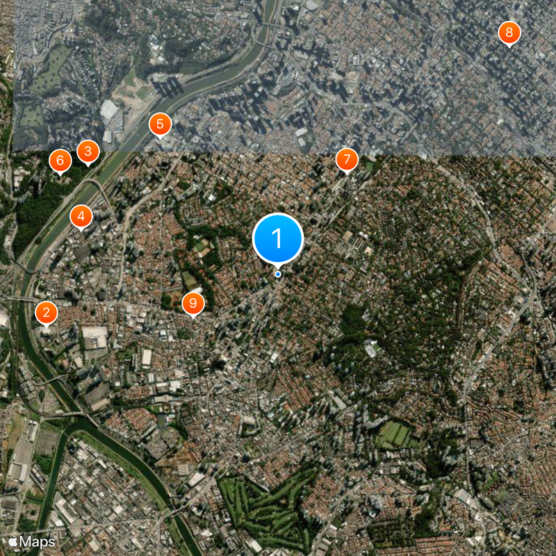
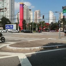
Santo Amaro is an administrative district in the southern part of São Paulo, Brazil. The district extends over a wide area with numerous residential, business, and leisure neighborhoods connected by broad streets and large avenues.

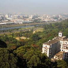
The area was an independent municipality until 1933, when it became officially part of the metropolitan city of São Paulo. The merger followed the rapid growth of the city during the industrial expansion of the early 20th century.

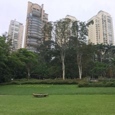
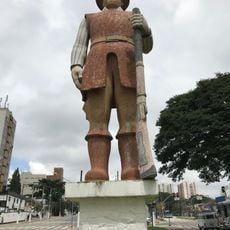
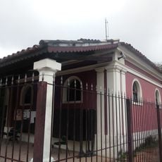
The name Santo Amaro comes from a saint honored during the founding of the first chapel in the area. Residents today spend time in the many parks and restaurants along the busy avenidas that shape daily life.

The area is well connected by several metro lines and bus routes, with Congonhas Airport located nearby. Visitors can walk or use public transport to move between the different neighborhoods and plazas.

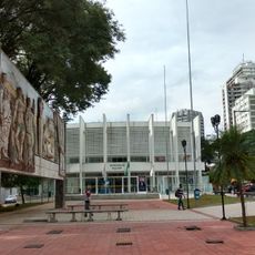
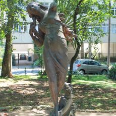
The district contains Largo 13 de Maio, a lively plaza named after a historic date marking the abolition of slavery in Brazil. The square hosts regular street markets and public events that draw both locals and visitors.

The community of curious travelers

AroundUs brings together thousands of curated places, local tips, and hidden gems, enriched daily by 60,000 contributors worldwide.

Start exploring
Location
Shares border with
Jardim São Luís District, Vila Andrade District, Campo Grande District, Cidade Ademar District, Morumbi, Itaim Bibi District, Socorro District, Campo Belo District
GPS coordinates
-23.64252,-46.69951
Latest update
December 14, 2025 17:22
Reviews
Share your experience

No review yet

Discussions
Start a discussion...

No discussion yet

« Santo Amaro District - Administrative district in southern São Paulo, Brazil » is provided by Around Us (aroundus.com). Images and texts are derived from Wikimedia project under a Creative Commons license. You are allowed to copy, distribute, and modify copies of this page, under the conditions set by the license, as long as this note is clearly visible.

Discover hidden gems everywhere you go!

From secret cafés to breathtaking viewpoints, skip the crowded tourist spots and find places that match your style. Our app makes it easy with voice search, smart filtering, route optimization, and insider tips from travelers worldwide. Download now for the complete mobile experience.

Around Us App Screenshot

A unique approach to discovering new places

Le Figaro

All the places worth exploring

France Info

A tailor-made excursion in just a few clicks

20 Minutes

Around Us
Travel Guide & Maps
Download

Send to your phone

QR Code
1

Open the camera app on your mobile.

2

Point at the QR code with your camera. A notification will appear.

3

Tap the notification to open the link.