Enable Location

We need your location to show you interesting places around you

Discover nearby places

Find interesting locations and hidden gems around you

Precise directions

Get accurate directions and distances to places

Your location is never shared with other users. It's only used when you tap the location button.

Log in to your account

Join the adventure

Create your free account and start exploring (like 60k+ others)

We will send you a code to connect

or
Continue with Google
Continue with Apple
By continuing, you accept our Terms and Conditions and our Privacy Policy

Check your inbox

We've sent a pincode in your inbox. Please enter the code below.

Barra Funda District

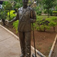
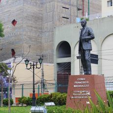
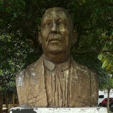
Barra Funda District, Administrative district in western São Paulo, Brazil

Description

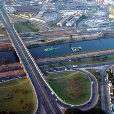
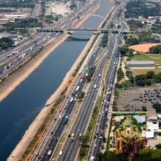
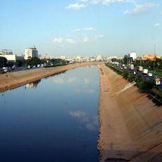
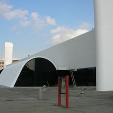
Barra Funda is a district in western São Paulo that combines residential blocks, commercial buildings, and major transportation infrastructure. The neighborhood centers on a large transit station that serves multiple transport modes and connects various parts of the city.

History

The district grew from a farm owned by a wealthy landowner in the 1800s, which was later divided into smaller estates. Its transformation from rural land into an urban center accelerated when it became a major transportation junction for the city.

Culture

The Camisa Verde e Branco samba school shapes the district's cultural rhythm with its parades and celebrations throughout the year. This community institution brings residents together and reflects the musical heritage that defines the neighborhood.

Practical

The main transit station is walkable from the city center and connects subway line 3 with long-distance bus and train services. The area has some steep elevation changes that visitors should expect when exploring on foot.

Did you know?

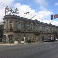
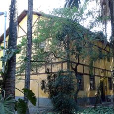
Brazil's first automatic telephone exchange opened on Brigadeiro Galvão Street in 1928, and the original building still stands today as a remnant of early communication technology. This innovation marked an important moment in the country's journey toward modernization.

Location
Shares border with
Freguesia do Ó District, Limão District, Lapa District, Bom Retiro District, Perdizes District, Santa Cecília District, Santana District, Casa Verde District
GPS coordinates
-23.52266,-46.67382
Latest update
December 20, 2025 16:02

AroundUs brings together thousands of curated places, local tips, and hidden gems, enriched daily by 60,000 contributors worldwide. Discover all places nearby (Subprefecture of Lapa).

« Barra Funda District - Administrative district in western São Paulo, Brazil » is provided by Around Us (aroundus.com). Images and texts are derived from Wikimedia project under a Creative Commons license. You are allowed to copy, distribute, and modify copies of this page, under the conditions set by the license, as long as this note is clearly visible.

Discover hidden gems everywhere you go!

From secret cafés to breathtaking viewpoints, skip the crowded tourist spots and find places that match your style. Our app makes it easy with voice search, smart filtering, route optimization, and insider tips from travelers worldwide. Download now for the complete mobile experience.

Around Us App Screenshot

A unique approach to discovering new places

Le Figaro

All the places worth exploring

France Info

A tailor-made excursion in just a few clicks

20 Minutes

Around Us
Travel Guide & Maps
Download

Send to your phone

QR Code
1

Open the camera app on your mobile.

2

Point at the QR code with your camera. A notification will appear.

3

Tap the notification to open the link.