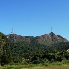
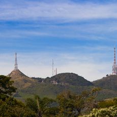
Brasilândia District, Administrative district in northern São Paulo, Brazil
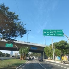
Brasilândia is a district in northern São Paulo that spreads across a large residential area with many inhabitants. The neighborhood features residential blocks, local shops, and public spaces that shape the daily life of residents.
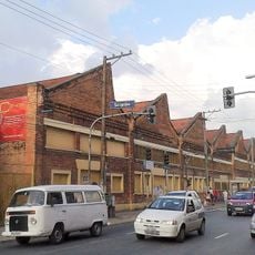
The district took shape in the 1940s when São Paulo experienced rapid growth and farmland was converted into residential areas. This transformation shaped the entire development of the region, which has continued to grow steadily since then.
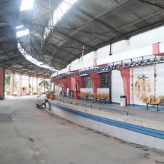
The district has deep roots in samba culture, particularly through the Rosas de Ouro samba school that originated here. This dance school remains an important gathering place for the community and shows how alive this musical tradition is in the neighborhood.
The district is accessible by public transportation and basic services are organized through local administration. Visitors should keep in mind that this is a residential neighborhood, so atmosphere and activity vary depending on the time of day.
The district faced severe health challenges during the 2020 pandemic, revealing gaps in medical infrastructure in the area. This experience highlighted how important it is to strengthen healthcare facilities in neighborhoods like this.
The community of curious travelers
AroundUs brings together thousands of curated places, local tips, and hidden gems, enriched daily by 60,000 contributors worldwide.