
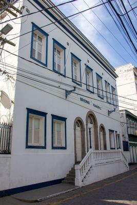
Prefeitura Municipal de Angra dos Reis
Prefeitura Municipal de Angra dos Reis, historical site registered by State Institute of Cultural Heritage of Rio de Janeiro in the city of Angra dos Reis, Rio de Janeiro, Brazil
Location: Angra dos Reis
Phone: +552433778311
Website: https://angra.rj.gov.br
GPS coordinates: -23.00891,-44.31937
Latest update: March 4, 2025 22:10
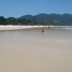
Praia de Lopes Mendes
26.5 km
Observatório Nuclear
15 km
Laboratory Beach
12.9 km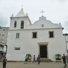
Mother Church of Our Lady of the Conception
90 m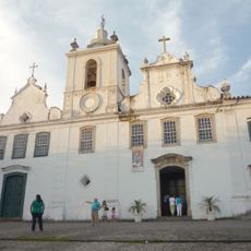
Carmo Church (Angra dos Reis)
486 m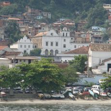
São Bernardino de Sena Convent
265 m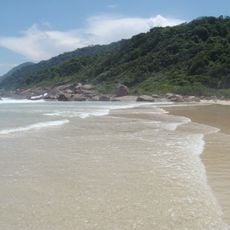
Ilha Grande State Park
18.2 km
Bonfim's Chapel
2 km
Anil Beach
1 km
Praia do Sul Biological Reserve
18.9 km
Tamoios Ecological Station
21.6 km
Santa Luzia Church (Angra dos Reis)
257 m
Aventureiro Sustainable Development Reserve
20.3 km
Tamoios Environmental Protection Area
6.9 km
Pico do Papagaio
20.5 km
Praia de Provetá
19.3 km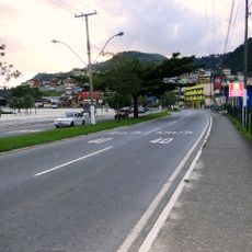
Ayrton Senna Avenue
1 km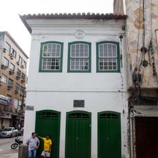
Casa de Cultura Poeta Brasil dos Reis
197 m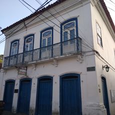
Solar Barão de Saí
29 km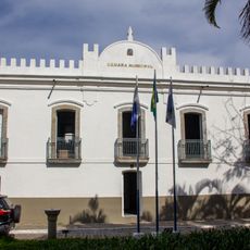
City Hall of Angra dos Reis
54 m
Casa à Praça General Osório
409 m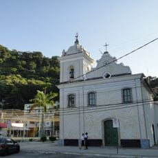
Igreja Matriz de Nossa Senhora da Guia
29 km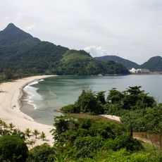
Brava Beach
16.5 km
Monument to the Magi
855 m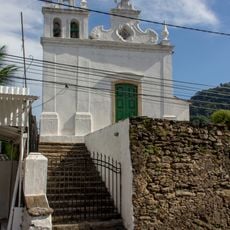
Igreja de Nossa Senhora da Lapa da Boa Morte
148 m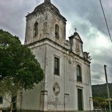
Nossa Senhora do Rosário Church
20.4 km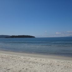
Mambucaba Beach
22.7 km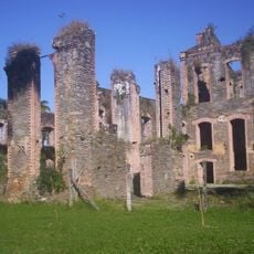
Central Mill of Bracuhy
10.1 kmVisited this place? Tap the stars to rate it and share your experience / photos with the community! Try now! You can cancel it anytime.
Discover hidden gems everywhere you go!
From secret cafés to breathtaking viewpoints, skip the crowded tourist spots and find places that match your style. Our app makes it easy with voice search, smart filtering, route optimization, and insider tips from travelers worldwide. Download now for the complete mobile experience.

A unique approach to discovering new places❞
— Le Figaro
All the places worth exploring❞
— France Info
A tailor-made excursion in just a few clicks❞
— 20 Minutes