Angra dos Reis, Coastal municipality with 300 islands in Rio de Janeiro, Brazil
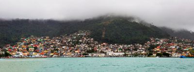
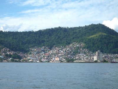
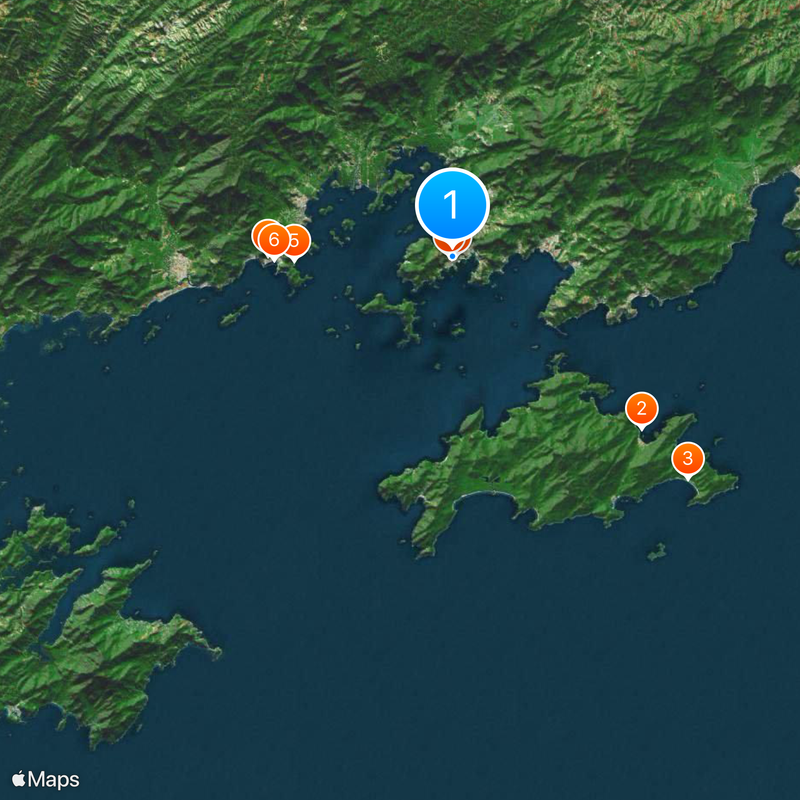
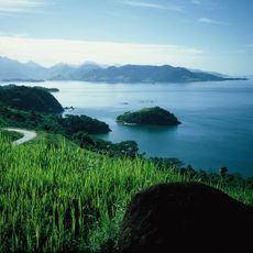
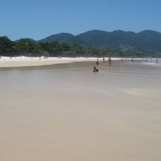
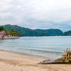
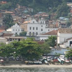
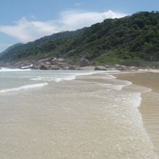
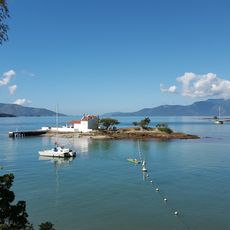
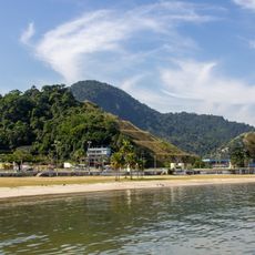
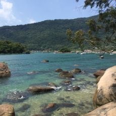
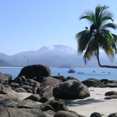
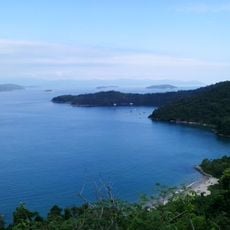
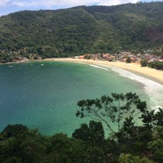
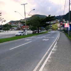
Angra dos Reis is a coastal municipality in the southern part of Rio de Janeiro state, covering more than 800 square kilometers of shoreline and mountainous interior. Around 300 islands lie offshore in the bay, forming a sprawling network of beaches, channels, and small fishing harbors.
Portuguese navigator Gaspar de Lemos reached Ilha Grande on January 6, 1502, and named the area after the feast of the Three Kings. Over the following centuries, a harbor developed here that allowed trade between the coast and the interior.
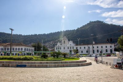
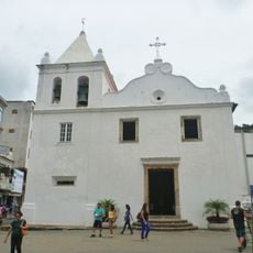
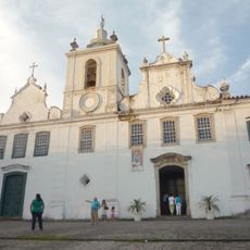
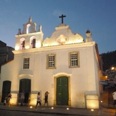
The Church of Our Lady of Mount Carmel stands in the town center and shows the early Portuguese settlement style along this coast. Its design reflects how colonial builders adapted European forms to the tropical climate and local materials available in the 17th century.
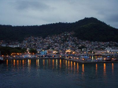
Highways, a railway line, and a small airport connect the municipality to Rio de Janeiro and São Paulo, giving travelers several options for arrival. Those wishing to explore the islands can find regular boat services and ferries from the harbor that run to different destinations across the bay.
Two nuclear power plants called Angra I and Angra II operate on the outskirts of town and generate a large share of electric energy for southeastern Brazil. Their cooling towers are visible from the coastal road and form one of the few nuclear installations in Latin America.
The community of curious travelers
AroundUs brings together thousands of curated places, local tips, and hidden gems, enriched daily by 60,000 contributors worldwide.