Mangaratiba, Coastal municipality in Rio de Janeiro, Brazil
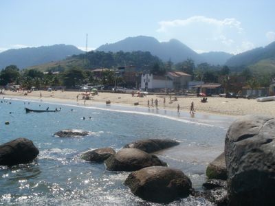
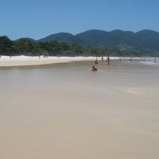
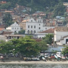
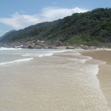
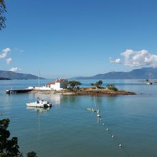
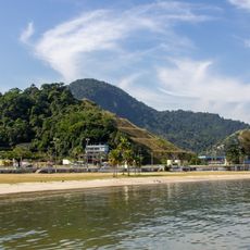
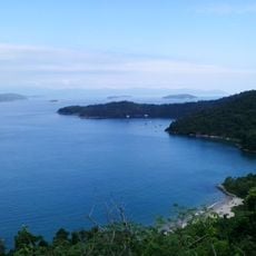
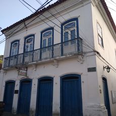
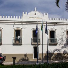
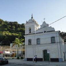
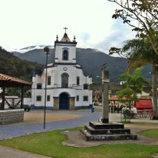
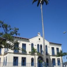
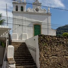
Mangaratiba is a coastal municipality in Rio de Janeiro with beaches, small islands, and forested hills that extend to the waterline. The town spreads across several districts, with the port and waterfront serving as the main activity centers.
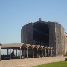
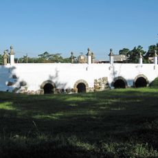
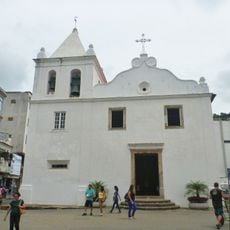
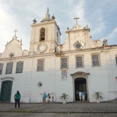
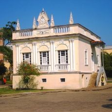
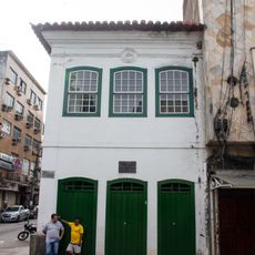
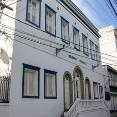
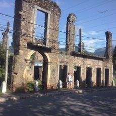
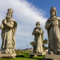
This place grew from early settlements tied to sugar production and maritime commerce in the colonial period. Over time, port activities became the center of economic life and continue to shape the region.
Life here revolves around the sea and maritime work remains visible in daily routines and local activities. Fishing boats, port operations, and waterfront areas shape how residents interact with their surroundings.
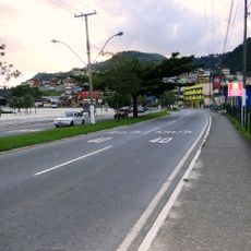
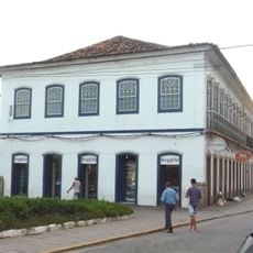
The municipality is well connected by main roads and offers various entry points to beaches and the port area. When visiting, it helps to explore different districts to get a feel for how the place is organized.
The port handles major cargo operations daily, loading materials destined for international markets far beyond the region. This commercial activity is one of the reasons the area remains economically significant.
Location: Rio de Janeiro
Inception: November 11, 1831
Elevation above the sea: 18 m
Shares border with: Angra dos Reis, Itaguaí, Rio Claro
Website: http://mangaratiba.rj.gov.br
GPS coordinates: -22.96000,-44.04083
Latest update: December 10, 2025 20:03
Zeppelin Hangar at Santa Cruz Air Force Base
33.7 km
Praia de Lopes Mendes
25.1 km
Ponte dos Jesuítas
38.6 km
Palacete Princesa Isabel
35.9 km
Mother Church of Our Lady of the Conception
29 km
Carmo Church (Angra dos Reis)
28.6 km
São Bernardino de Sena Convent
29.1 km
Ilha Grande State Park
28.7 km
Bonfim's Chapel
30.6 km
Anil Beach
28 km
Solar dos Araújos
37.1 km
Santa Luzia Church (Angra dos Reis)
28.8 km
Tamoios Environmental Protection Area
27.6 km
Pico do Papagaio
27 km
Ayrton Senna Avenue
28 km
Casa de Cultura Poeta Brasil dos Reis
28.9 km
Solar Barão de Saí
234 m
Farol dos Castelhanos
23.8 km
City Hall of Angra dos Reis
29.1 km
Prefeitura Municipal de Angra dos Reis
29.1 km
Ruínas de Antigas Edificações no Saco De Cima
2.8 km
Casa à Praça General Osório
28.7 km
Igreja Matriz de Nossa Senhora da Guia
108 m
Igreja Nossa Senhora de Santana
13.9 km
Monument to the Magi
28.2 km
Matadouro de Santa Cruz
35.8 km
Igreja de Nossa Senhora da Lapa da Boa Morte
29 km
Ruínas do centro histórico de São João Marcos
18.1 kmVisited this place? Tap the stars to rate it and share your experience / photos with the community! Try now! You can cancel it anytime.
Discover hidden gems everywhere you go!
From secret cafés to breathtaking viewpoints, skip the crowded tourist spots and find places that match your style. Our app makes it easy with voice search, smart filtering, route optimization, and insider tips from travelers worldwide. Download now for the complete mobile experience.
A unique approach to discovering new places❞
— Le Figaro
All the places worth exploring❞
— France Info
A tailor-made excursion in just a few clicks❞
— 20 Minutes