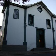
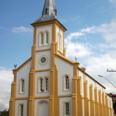
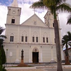
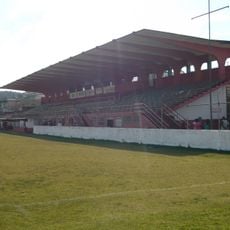
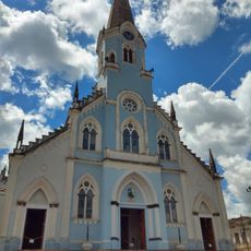
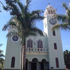
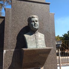
Campanha, Municipality in Minas Gerais, Brazil.
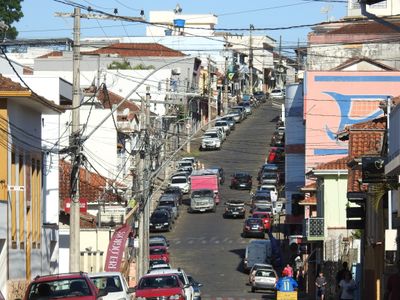
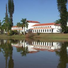
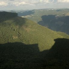
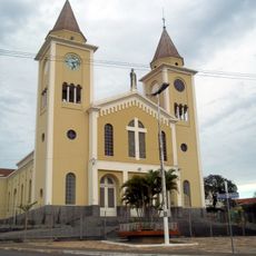
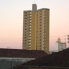
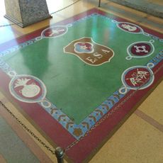
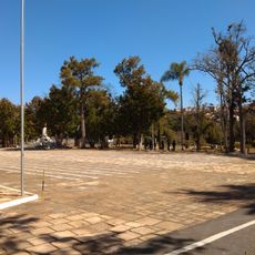
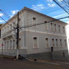
Campanha is a municipality in Minas Gerais, Brazil, set in a hilly region with residential neighborhoods and local commerce. The town has a modest center with administrative buildings and social facilities that serve the daily needs of residents.
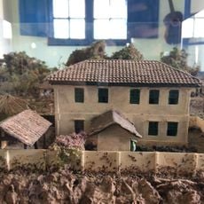
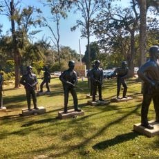
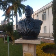
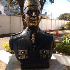
The municipality was founded during the Portuguese colonial period when settlers established administrative centers in the Minas Gerais region. This heritage shapes the structure and function of local government to this day.
Local government offices in Campanha coordinate regular municipal elections and community gatherings, reflecting Brazilian democratic practices at the grassroots level.
The administrative center is easily accessible on foot and offers residents access to important services such as registration and permits. Public facilities are best visited during regular business hours on weekdays.
The geographical position at latitude -21.838889 and longitude -45.399722 places Campanha at a central point among 853 municipalities of Minas Gerais.
The community of curious travelers
AroundUs brings together thousands of curated places, local tips, and hidden gems, enriched daily by 60,000 contributors worldwide.