Botafogo, Beachfront neighborhood in Rio de Janeiro, Brazil.
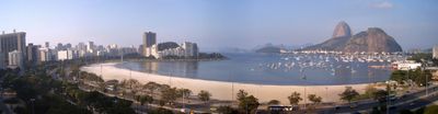
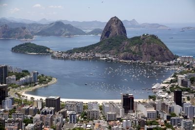
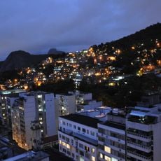
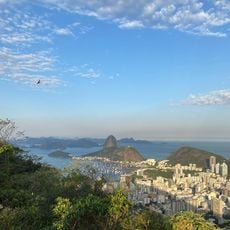
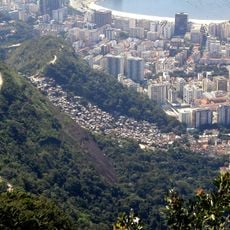
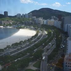
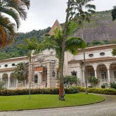
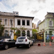
Botafogo is a residential neighborhood situated between Mundo Novo, Dona Marta, and São João hills, offering views of Sugarloaf Mountain from its protected beach in Guanabara Bay. The area is structured by several main streets, including Rua Marquês de Abrantes and Rua da Passagem, which run through the district.
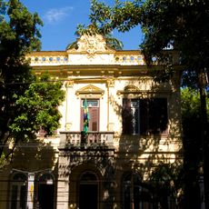
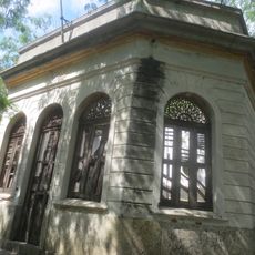
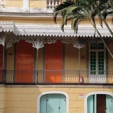
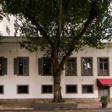
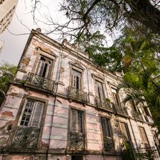
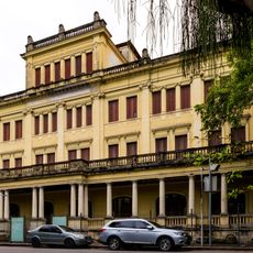
The neighborhood takes its name from João Pereira de Sousa Botafogo, who served as an artillery officer on a galleon in the 17th century. During the 1800s, it transformed from farmland into a wealthy residential area.
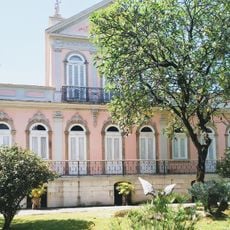
The neighborhood houses several museums including the Villa-Lobos Museum and Museu do Índio, which showcase different aspects of Brazilian heritage. These institutions shape local cultural life and draw visitors interested in art and history.
Botafogo metro station provides direct connections to other areas of Rio, while buses run frequently along the main streets. The beach is easily accessible and well-marked, especially near the neighborhood center.
The Deutsche Schule Rio de Janeiro operates within the neighborhood, teaching students in both Portuguese and German and creating a bilingual learning space. This school attracts families from various countries and adds a particular character to the community.
The community of curious travelers
AroundUs brings together thousands of curated places, local tips, and hidden gems, enriched daily by 60,000 contributors worldwide.