Enable Location

We need your location to show you interesting places around you

Discover nearby places

Find interesting locations and hidden gems around you

Precise directions

Get accurate directions and distances to places

Your location is never shared with other users. It's only used when you tap the location button.

Lima Duarte

Log in to your account

Start exploring — it's free

Trusted by 62,857 travelers worldwide

Continue with Google
Continue with Apple
or

We will send you a code to connect

By continuing, you accept our Terms and Conditions and our Privacy Policy

Check your inbox

We've sent a pincode in your inbox. Please enter the code below.

Lima Duarte, Municipality in Zona da Mata region, Minas Gerais, Brazil

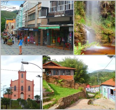
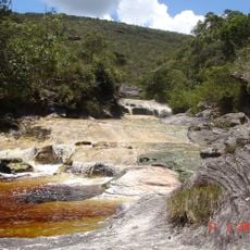
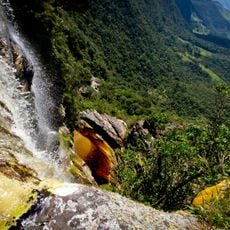
Lima Duarte is a municipality in the mountainous region of Minas Gerais, crisscrossed by dense forests and the Rio do Peixe river system. The terrain is hilly with an elevation of around 861 meters.

The area was discovered in 1692 by bandeirantes led by Father João Faria Filho, who found gold in the Rio do Peixe. This discovery sparked the first settlements and marked when Europeans began living in the region.

The town keeps local traditions alive through annual celebrations where you can taste regional food and see handmade crafts made by locals. These gatherings show how deeply connected people here feel to the land and what it produces.

Highway BR-267 links the municipality to Juiz de Fora and provides access to schools, hospitals, and other key services. Local infrastructure supports visitors with basic facilities and connections to larger cities.

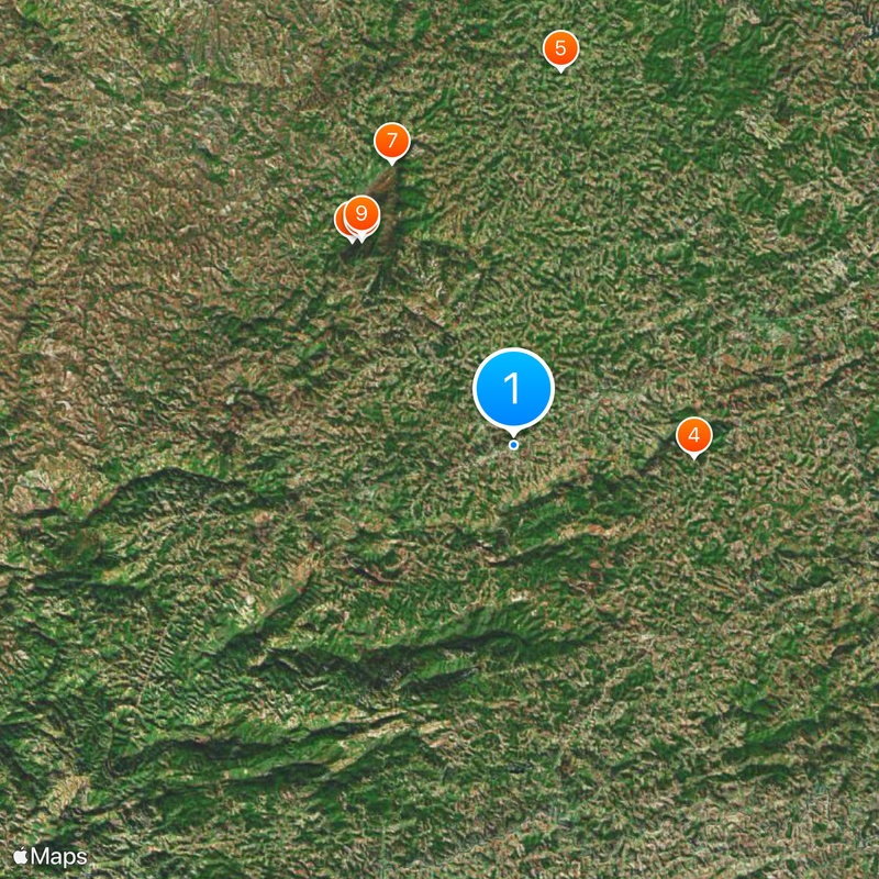
Morro do Pião rises to 1,721 meters and is the highest point in the area with views toward the Mantiqueira mountain range. From this peak, visitors can survey the expanse of the surrounding highland landscape.

The community of curious travelers

AroundUs brings together thousands of curated places, local tips, and hidden gems, enriched daily by 60,000 contributors worldwide.

Start exploring
Location
Elevation above the sea
861 m
Shares border with
Rio Preto, Olaria, Andrelândia, Bom Jardim de Minas, Bias Fortes, Juiz de Fora, Santa Rita de Ibitipoca, Santana do Garambéu, Santa Bárbara do Monte Verde, Pedro Teixeira
GPS coordinates
-21.84278,-43.79278
Latest update
December 20, 2025 12:19
« Lima Duarte - Municipality in Zona da Mata region, Minas Gerais, Brazil » is provided by Around Us (aroundus.com). Images and texts are derived from Wikimedia project under a Creative Commons license. You are allowed to copy, distribute, and modify copies of this page, under the conditions set by the license, as long as this note is clearly visible.

Discover hidden gems everywhere you go!

From secret cafés to breathtaking viewpoints, skip the crowded tourist spots and find places that match your style. Our app makes it easy with voice search, smart filtering, route optimization, and insider tips from travelers worldwide. Download now for the complete mobile experience.

Around Us App Screenshot

A unique approach to discovering new places

Le Figaro

All the places worth exploring

France Info

A tailor-made excursion in just a few clicks

20 Minutes

Around Us
Travel Guide & Maps
Download

Send to your phone

QR Code
1

Open the camera app on your mobile.

2

Point at the QR code with your camera. A notification will appear.

3

Tap the notification to open the link.