Baixada Fluminense, Coastal lowland region in Rio de Janeiro State, Brazil.
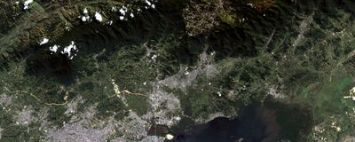
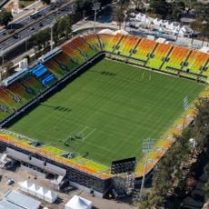
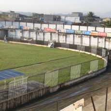
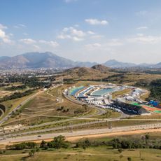
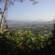
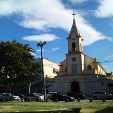
Baixada Fluminense is a lowland region in Rio de Janeiro State that lies between the Serra do Mar range and the Atlantic coast southwest of the capital. Rivers like the Iguaçu and Sarapuí cross the flat terrain, which is marked by densely populated municipalities such as Duque de Caxias, Nova Iguaçu, and São João de Meriti.
Swamps and flooded areas characterized the land until the 1930s, when drainage projects opened it up for agriculture and settlements. The second half of the 20th century brought rapid population growth that turned the area into a densely settled zone around Rio de Janeiro.
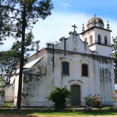
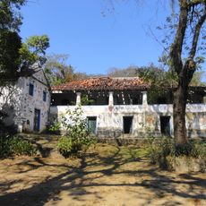
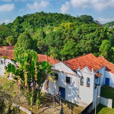
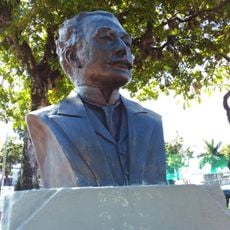
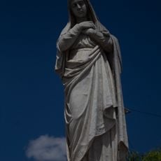
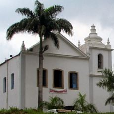
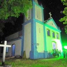
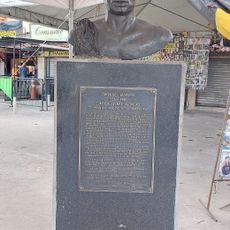
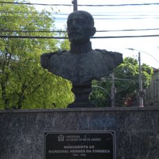
The name Fluminense refers to Rio de Janeiro State and traditionally designates its coastal lowlands. Place names across the area often reflect colonial origins, while newer neighborhoods bear the names of saints or local figures.
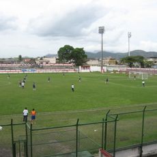
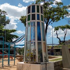
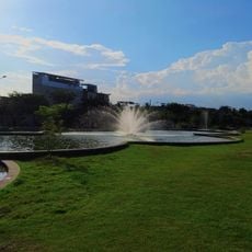
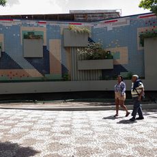
Major roads and rail lines link the region to Rio de Janeiro, with commuters traveling daily between residential areas and workplaces. Visitors exploring the area will find markets, local eateries, and town squares that offer a window into everyday life.
The soils are among the most fertile in the state and still produce fruit and vegetables, even though urban expansion has built over much of the former farmland. Some municipalities maintain small gardens and agricultural plots that recall the agrarian past.
The community of curious travelers
AroundUs brings together thousands of curated places, local tips, and hidden gems, enriched daily by 60,000 contributors worldwide.