Rio de Janeiro metropolitan area, Metropolitan administrative region in Rio de Janeiro, Brazil.
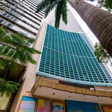
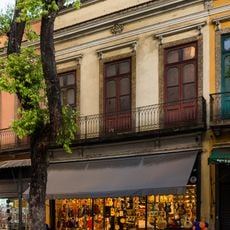
The Rio de Janeiro metropolitan area spreads across several districts along the Atlantic coast, linking the main city with numerous neighboring towns and suburbs. The region includes densely populated zones along flat coastal areas and hillier inland terrain, all connected by roads and transit systems serving people who live and work across these communities.
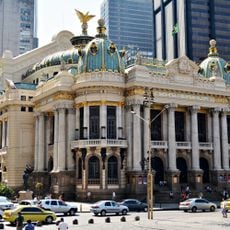
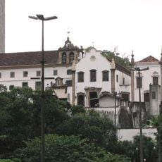
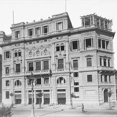
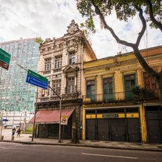
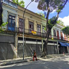
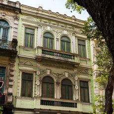
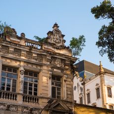
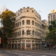
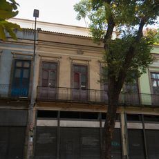
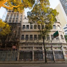
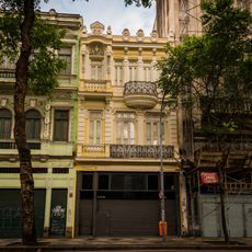
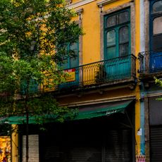
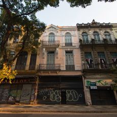
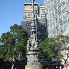
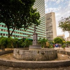
The region began as a Portuguese colonial settlement in the early 17th century and later became Brazil's most important administrative center. Serving as the nation's capital from 1763 until 1960, it shaped the country's political and economic development before governmental functions shifted elsewhere.
Samba, bossa nova, and carnival traditions shape everyday life and are visible in street gatherings, dance groups, and music schools found throughout the area. These expressions remain central to how people celebrate and gather together in neighborhoods and public spaces.
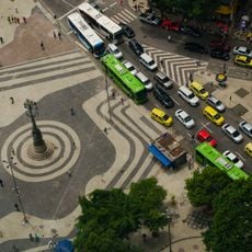
The area is best explored by bus, metro, or ferry systems that move people between different neighborhoods and municipalities. Visitors should plan extra time for travel since distances are considerable and traffic can slow during peak hours in many parts of the region.
The region contains Tijuca National Park, Earth's largest urban forest, nestled within the metropolitan area and reminding visitors that the surroundings were once covered in dense tropical woodland. This green space shows how nature and urban development intertwine in this location.
The community of curious travelers
AroundUs brings together thousands of curated places, local tips, and hidden gems, enriched daily by 60,000 contributors worldwide.