
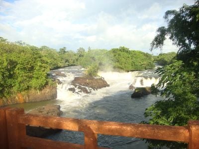
Caçu, municipality of Brazil
Location: Goiás
Elevation above the sea: 481 m
Website: https://www.cacu.go.gov.br/
Shares border with: Itarumã, Aparecida do Rio Doce, Cachoeira Alta, Jataí, Paranaiguara, Santa Vitória, São Simão
Website: https://cacu.go.gov.br
GPS coordinates: -18.55694,-51.13083
Latest update: April 2, 2025 01:30
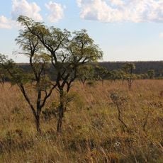
Emas National Park
195.9 km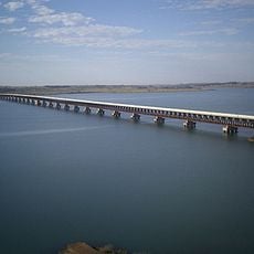
Rollemberg–Vuolo Road–Railway Bridge
172.8 km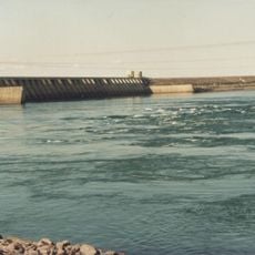
Eng Souza Dias Dam
252.8 km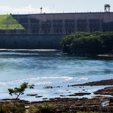
Marimbondo Dam
281 km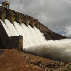
Itumbiara Dam
215.2 km
Affonso Penna bridge
203.7 km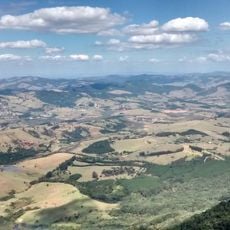
Parque Estadual da Serra de Caldas Novas
270.3 km
Porto de Alencastro bridge
123.4 km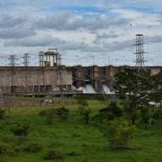
Nova Avanhandava Dam
301.3 km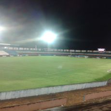
Estádio JK
199.9 km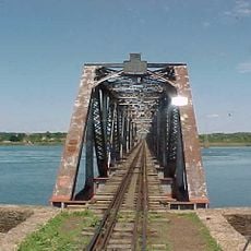
Puente Francisco de Sá
254 km
Aguapeí State Park
299.6 km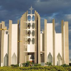
Holy Spirit Cathedral, Jataí
97.6 km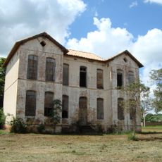
Palácio do Imperador
235.5 km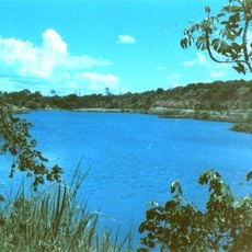
Cascalheira
250.3 km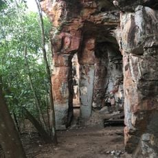
Rock art sites of Alcinópolis
273.2 km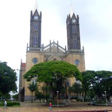
Cathedral Our Lady (Votuporanga-SP)
240.3 km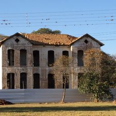
Emperor's Palace (Former military colony)
235.5 km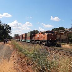
Estação Ferroviária de Cosmorama
256.8 km
Red Water Museum
178.7 km
Cemitério de Guararapes SP
305.4 km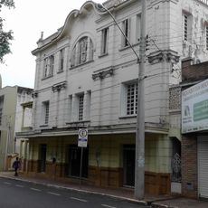
Casa de Cultura Doutor Ariovaldo Correa
303.5 km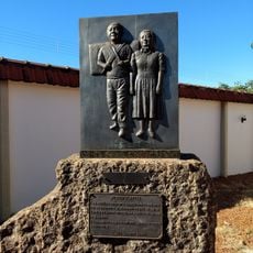
Museu Histórico da Colonização de Pereira Barreto
232.6 km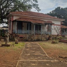
House of the Chief Engineer of Araçatuba Central Railroad
303.4 km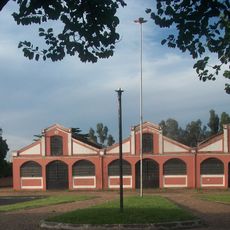
Araçatuba Central Railroad Locomotive Workshop
303.2 km
Conjunto Ferroviário Central de Araçatuba
303.2 km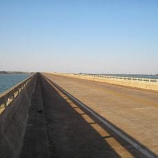
Ponte Novo Oriente
234.7 km
Museu Histórico e Pedagógico Marechal Cândido Rondon
303.4 kmReviews
Visited this place? Tap the stars to rate it and share your experience / photos with the community! Try now! You can cancel it anytime.
Discover hidden gems everywhere you go!
From secret cafés to breathtaking viewpoints, skip the crowded tourist spots and find places that match your style. Our app makes it easy with voice search, smart filtering, route optimization, and insider tips from travelers worldwide. Download now for the complete mobile experience.

A unique approach to discovering new places❞
— Le Figaro
All the places worth exploring❞
— France Info
A tailor-made excursion in just a few clicks❞
— 20 Minutes