Chest opened
+${chestReward.xp} XP
Explorer
NOUVEAU ×${chestReward.collectible.quantity}
tapez pour fermer
Chest locked

Open chests in the app

Around Us is built for your phone — chests unlock when you walk, explore and capture nearby places.

Enable Location

We need your location to show you interesting places around you

Discover nearby places

Find interesting locations and hidden gems around you

Precise directions

Get accurate directions and distances to places

Your location is never shared with other users. It's only used when you tap the location button.

Log in to your account

Start exploring — it's free

Trusted by 72,894 travelers worldwide

Continue with Google
Continue with Apple
or

We will send you a code to connect

By continuing, you accept our Terms and Conditions and our Privacy Policy

Check your inbox

We've sent a pincode in your inbox. Please enter the code below.

Discussion Reviews Photo
14.6k Popularity

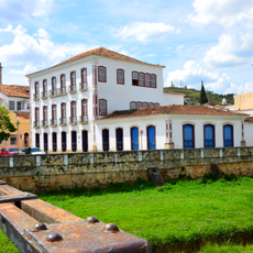
Perdões, Municipality in southern Minas Gerais, Brazil.

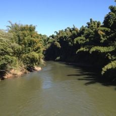
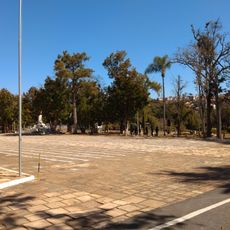
Perdões is a municipality in southern Minas Gerais located at an elevation of around 848 meters (2,782 feet). The town sits across roughly 276 square kilometers of land in southeastern Brazil.

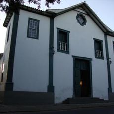
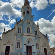
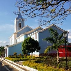
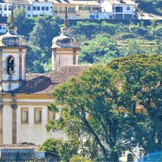
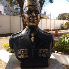
The settlement grew around a chapel built in the 18th century by a military officer named Romão Fagundes do Amaral. This religious building formed the nucleus of what became the municipality.

The town's name carries meaning rooted in an old story of reconciliation, reflecting values that shaped how people remember this place.

The town sits at kilometer 677 along the main highway connecting São Paulo to Belo Horizonte, offering straightforward access to both major cities. This central position makes it easy to reach from either direction.

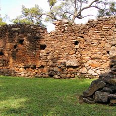
The area contains a section of a historic railway line that once connected distant regions across Brazil. This abandoned track remains a trace of an earlier era of transportation.

The community of curious travelers

AroundUs brings together thousands of curated places, local tips, and hidden gems, enriched daily by 60,000 contributors worldwide.

Start exploring
Location
Elevation above the sea
848 m
Shares border with
Ribeirão Vermelho, Cana Verde, Nepomuceno, Lavras, Bom Sucesso, Ijaci, Santana do Jacaré, Santo Antônio do Amparo
GPS coordinates
-21.09083,-45.09083
Latest update
December 7, 2025 20:21
Reviews
Share your experience

No review yet

Discussions
Start a discussion...

No discussion yet

« Perdões - Municipality in southern Minas Gerais, Brazil » is provided by Around Us (aroundus.com). Images and texts are derived from Wikimedia project under a Creative Commons license. You are allowed to copy, distribute, and modify copies of this page, under the conditions set by the license, as long as this note is clearly visible.

Discover hidden gems everywhere you go!

From secret cafés to breathtaking viewpoints, skip the crowded tourist spots and find places that match your style. Our app makes it easy with voice search, smart filtering, route optimization, and insider tips from travelers worldwide. Download now for the complete mobile experience.

Around Us App Screenshot

A unique approach to discovering new places

Le Figaro

All the places worth exploring

France Info

A tailor-made excursion in just a few clicks

20 Minutes

Around Us
Travel Guide & Maps
Download

Send to your phone

QR Code
1

Open the camera app on your mobile.

2

Point at the QR code with your camera. A notification will appear.

3

Tap the notification to open the link.