
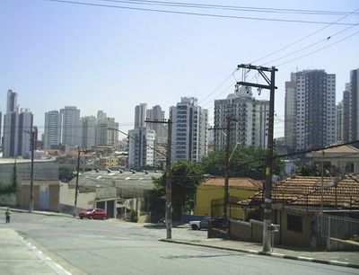
Água Rasa, neighbourhood in Água Rasa District, São Paulo City
Location: Água Rasa District
GPS coordinates: -23.55321,-46.58126
Latest update: April 9, 2025 12:54
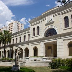
Immigration Museum of the State of São Paulo
3.2 km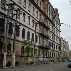
Moinho Matarazzo
3.7 km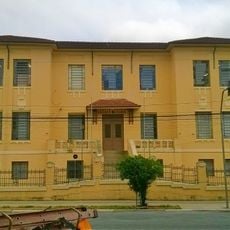
Escola Estadual Amadeu Amaral
1.9 km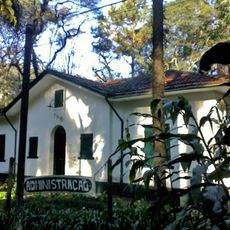
Parque Piqueri
2.9 km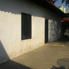
House of Tatuapé
2.2 km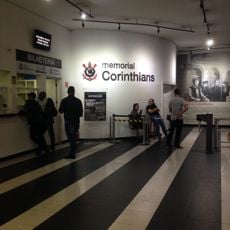
Memorial do Corinthians
3.3 km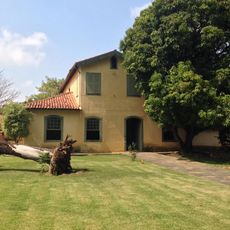
Regente Feijó house
2 km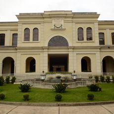
Immigrant Inn
3.2 km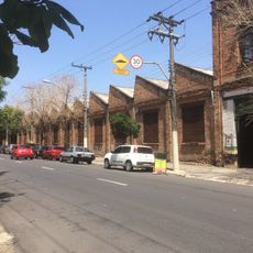
Edifícios industriais da Rua Borges de Figueiredo
1.8 km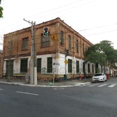
Casa Vanorden Old Offices
2.7 km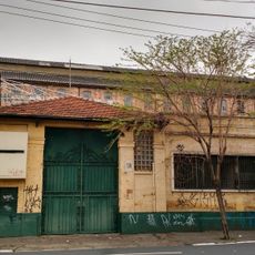
Grandes Moinhos Minetti Gamba
2.7 km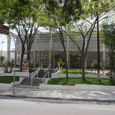
Municipal Theater of Mooca Arthur Azevedo
1.9 km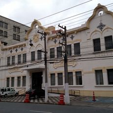
Primeira Escola Profissional Masculina
4 km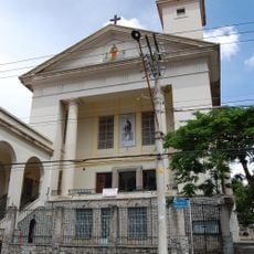
Paróquia São Paulo Apóstolo
787 m
Capela do Bom Jesus do Horto
4 km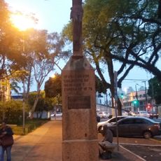
Crucifixo
1.9 km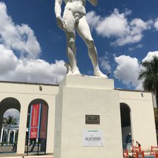
David
2.2 km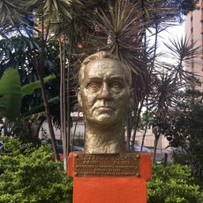
Alexandre Fleming
869 m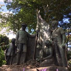
Pátria e Família
2.1 km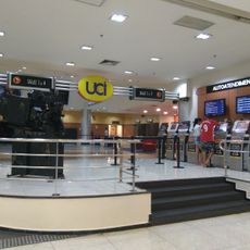
UCI Anália Franco
2.1 km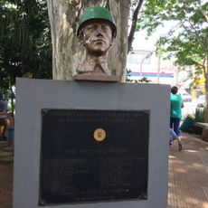
Força Expedicionária Brasileira
3.2 km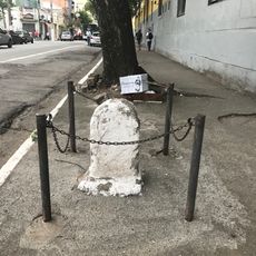
Marco Rodoviário
3.8 km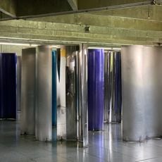
Caleidoscópio
3.7 km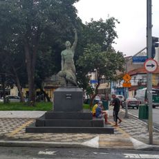
Ubirajara
1.4 km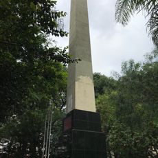
Centenário de Vila Prudente
3.2 km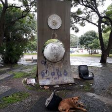
Vicente Mateus
2.1 km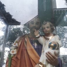
São José
3.4 km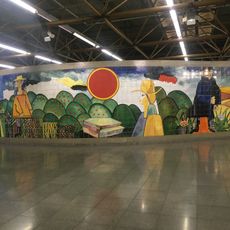
Inter-Relação Entre o Campo e a Cidade
1.5 kmVisited this place? Tap the stars to rate it and share your experience / photos with the community! Try now! You can cancel it anytime.
Discover hidden gems everywhere you go!
From secret cafés to breathtaking viewpoints, skip the crowded tourist spots and find places that match your style. Our app makes it easy with voice search, smart filtering, route optimization, and insider tips from travelers worldwide. Download now for the complete mobile experience.

A unique approach to discovering new places❞
— Le Figaro
All the places worth exploring❞
— France Info
A tailor-made excursion in just a few clicks❞
— 20 Minutes