Mateus Leme, municipality of Brazil
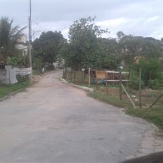
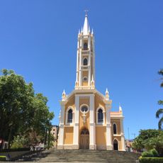
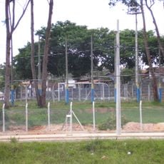
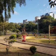
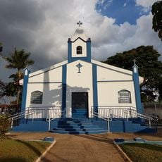
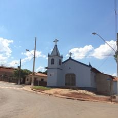
Mateus Leme is a small municipality in the state of Minas Gerais, Brazil, with rural character and simple infrastructure. The streets follow a basic layout with a few main roads connecting the village center to surrounding countryside, where modest buildings reflect the settlement's past.
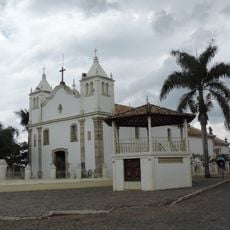
The settlement was founded in the early 1700s by bandeirante Mateus Leme and was originally called Arraial do Morro de Mateus Leme. Historical records document the presence of settlers as early as 1710, with documents from the 1730s and 1740s confirming the growth of the local community.
The name Mateus Leme comes from a bandeirante explorer from São Paulo who founded the settlement in the early 1700s. The town keeps alive the Cavalhada tradition, a colorful reenactment of medieval battles between two groups that draws visitors from across the state to watch the festive outdoor performance.
The town is easy to reach by road and sits just a short drive from Belo Horizonte. Visitors can walk through the streets easily and enjoy the slow pace of life without large hotels or complex infrastructure complicating the experience.
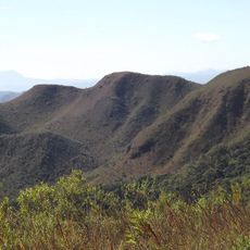
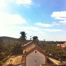
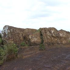
The town is known for orchid and plant cultivation, home to Japanese gardeners who carefully grow vibrant flowers with rich colors. The nearby Serra do Elefante mountain offers stunning views and mineral-rich water considered among the best in Brazil.
The community of curious travelers
AroundUs brings together thousands of curated places, local tips, and hidden gems, enriched daily by 60,000 contributors worldwide.