Enable Location

We need your location to show you interesting places around you

Discover nearby places

Find interesting locations and hidden gems around you

Precise directions

Get accurate directions and distances to places

Your location is never shared with other users. It's only used when you tap the location button.

Itaperuna

Log in to your account

Start exploring — it's free

Trusted by 62,843 travelers worldwide

Continue with Google
Continue with Apple
or

We will send you a code to connect

By continuing, you accept our Terms and Conditions and our Privacy Policy

Check your inbox

We've sent a pincode in your inbox. Please enter the code below.

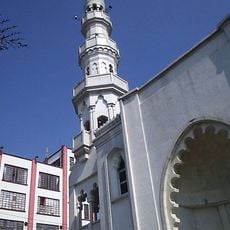
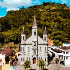
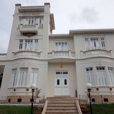
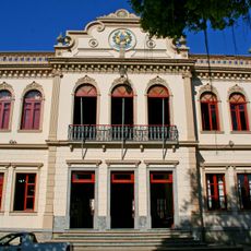
Itaperuna, Municipality in Rio de Janeiro state, Brazil.

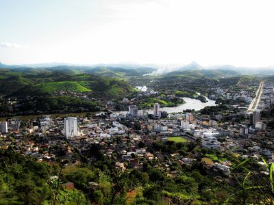
Itaperuna is a city in northwestern Rio de Janeiro state that spreads across a significant area with low elevation, making it a densely populated center in the region. The city functions as a transport hub connecting several smaller settlements in the surrounding countryside.

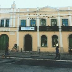
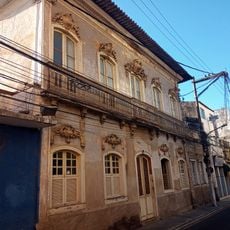
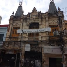
The city was founded in 1889 when it separated from the neighboring municipality of Campos dos Goytacazes and became an important commercial and administrative center. Over more than a century, the population grew steadily as the city maintained its role as a regional hub.

The town's markets show the strong connection between residents and farming traditions, with vendors selling fresh regional products and local goods that have been part of daily life for generations. Walking through these spaces gives a real sense of how agriculture remains woven into the community's identity.

The city has an airport available for visitors to reach the area by air, while a network of roads connects it easily to surrounding communities and provides convenient ground travel. Getting there is straightforward whether you prefer to fly or drive.

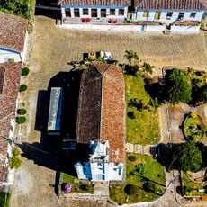
The city is divided into several distinct urban zones, with the main center significantly larger than the smaller districts that fall under its administration. This distributed structure is unusual for municipalities of this size in the region.

The community of curious travelers

AroundUs brings together thousands of curated places, local tips, and hidden gems, enriched daily by 60,000 contributors worldwide.

Start exploring
Location
Elevation above the sea
116 m
Shares border with
Cambuci, Laje do Muriaé, Eugenópolis, Antônio Prado de Minas, Bom Jesus do Itabapoana, Campos dos Goytacazes, Italva, Miracema, Natividade, Patrocínio do Muriaé, São José de Ubá
GPS coordinates
-21.20500,-41.88778
Latest update
December 14, 2025 20:04
« Itaperuna - Municipality in Rio de Janeiro state, Brazil » is provided by Around Us (aroundus.com). Images and texts are derived from Wikimedia project under a Creative Commons license. You are allowed to copy, distribute, and modify copies of this page, under the conditions set by the license, as long as this note is clearly visible.

Discover hidden gems everywhere you go!

From secret cafés to breathtaking viewpoints, skip the crowded tourist spots and find places that match your style. Our app makes it easy with voice search, smart filtering, route optimization, and insider tips from travelers worldwide. Download now for the complete mobile experience.

Around Us App Screenshot

A unique approach to discovering new places

Le Figaro

All the places worth exploring

France Info

A tailor-made excursion in just a few clicks

20 Minutes

Around Us
Travel Guide & Maps
Download

Send to your phone

QR Code
1

Open the camera app on your mobile.

2

Point at the QR code with your camera. A notification will appear.

3

Tap the notification to open the link.