Enable Location

We need your location to show you interesting places around you

Discover nearby places

Find interesting locations and hidden gems around you

Precise directions

Get accurate directions and distances to places

Your location is never shared with other users. It's only used when you tap the location button.

Ervália

Log in to your account

Start exploring — it's free

Trusted by 62,841 travelers worldwide

Continue with Google
Continue with Apple
or

We will send you a code to connect

By continuing, you accept our Terms and Conditions and our Privacy Policy

Check your inbox

We've sent a pincode in your inbox. Please enter the code below.

Ervália, Agricultural municipality in Minas Gerais, Brazil.

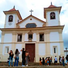
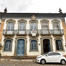
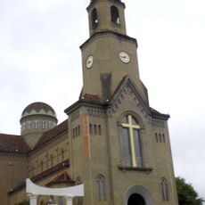
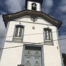
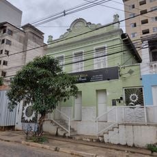
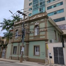
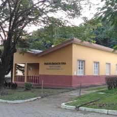
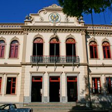
Ervália is a municipality in the Zona da Mata region of Minas Gerais, situated at approximately 800 meters elevation. The administrative center is located at Praça Arthur Bernardes, serving a population of around 19,000 residents.

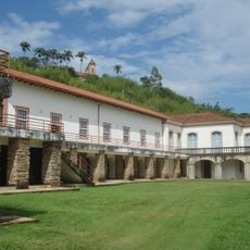
The municipality grew from a small agricultural settlement into an established administrative division. It became part of the Viçosa microregion and reflects the historical importance of coffee and sugarcane production in the area.

Residents, called Ervalenses, live closely tied to farming and shape the landscape through their daily work in the fields. Visitors see coffee plantations and sugarcane crops throughout the territory, reflecting how people make their living here.

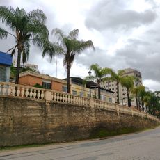
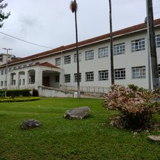
The best way to explore the area is to walk through the agricultural lands or visit the central plaza where administrative buildings are located. The hilly surroundings and moderate climate at this elevation make it pleasant for walking and easy exploration.

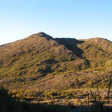
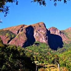
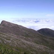
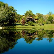
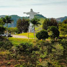
The Serra do Brigadeiro sits at the edge and offers access to rare forest landscapes and natural springs. This nature park is less crowded than others in Brazil, preserving important ecosystems while giving visitors a sense of the region's wild side.

The community of curious travelers

AroundUs brings together thousands of curated places, local tips, and hidden gems, enriched daily by 60,000 contributors worldwide.

Start exploring
Location
Elevation above the sea
800 m
Shares border with
, São Sebastião da Vargem Alegre, Miradouro, Rosário da Limeira
GPS coordinates
-20.84000,-42.65694
Latest update
December 7, 2025 20:44
« Ervália - Agricultural municipality in Minas Gerais, Brazil » is provided by Around Us (aroundus.com). Images and texts are derived from Wikimedia project under a Creative Commons license. You are allowed to copy, distribute, and modify copies of this page, under the conditions set by the license, as long as this note is clearly visible.

Discover hidden gems everywhere you go!

From secret cafés to breathtaking viewpoints, skip the crowded tourist spots and find places that match your style. Our app makes it easy with voice search, smart filtering, route optimization, and insider tips from travelers worldwide. Download now for the complete mobile experience.

Around Us App Screenshot

A unique approach to discovering new places

Le Figaro

All the places worth exploring

France Info

A tailor-made excursion in just a few clicks

20 Minutes

Around Us
Travel Guide & Maps
Download

Send to your phone

QR Code
1

Open the camera app on your mobile.

2

Point at the QR code with your camera. A notification will appear.

3

Tap the notification to open the link.