Enable Location

We need your location to show you interesting places around you

Discover nearby places

Find interesting locations and hidden gems around you

Precise directions

Get accurate directions and distances to places

Your location is never shared with other users. It's only used when you tap the location button.

Bom Jesus do Itabapoana

Log in to your account

Start exploring — it's free

Trusted by 62,834 travelers worldwide

Continue with Google
Continue with Apple
or

We will send you a code to connect

By continuing, you accept our Terms and Conditions and our Privacy Policy

Check your inbox

We've sent a pincode in your inbox. Please enter the code below.

Bom Jesus do Itabapoana

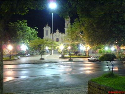
Bom Jesus do Itabapoana, Administrative municipality in northeastern Rio de Janeiro, Brazil.

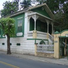
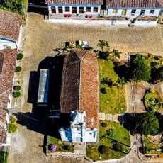
Bom Jesus do Itabapoana is a municipality in northeastern Rio de Janeiro with expansive farmland and developed areas spread across varied terrain. The region is crossed by the Itabapoana River and contains several smaller towns and villages interspersed with the rural landscape.

The area was originally part of Itaperuna until gaining independence in 1939, then receiving its current name in 1948. This separation allowed the region to develop its own local identity centered on farming.

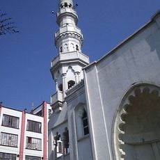
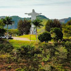
The town holds deep roots in rural traditions and agricultural life that shape how residents connect with their surroundings. Farming families and their customs remain central to how people here experience and celebrate their community.

The main administrative center on Avenida Governador Roberto Silveira serves as the central point for visitor information and local orientation. Starting here gives you a good sense of the town layout before exploring the surrounding areas.

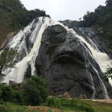
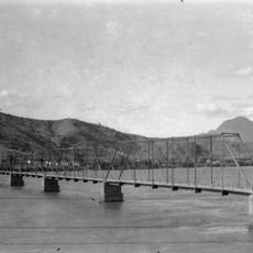
The Itabapoana River marks the border between two states and has fundamentally shaped this region's development and commerce patterns. This natural boundary has influenced everything from how the town trades with neighbors to its cultural identity.

The community of curious travelers

AroundUs brings together thousands of curated places, local tips, and hidden gems, enriched daily by 60,000 contributors worldwide.

Start exploring
Location
Elevation above the sea
328 m
Shares border with
Italva, Natividade, Apiacá, Bom Jesus do Norte, Campos dos Goytacazes, Guaçuí, Itaperuna, Mimoso do Sul, São José do Calçado, Varre-Sai
GPS coordinates
-21.13389,-41.68000
Latest update
December 20, 2025 15:42
« Bom Jesus do Itabapoana - Administrative municipality in northeastern Rio de Janeiro, Brazil » is provided by Around Us (aroundus.com). Images and texts are derived from Wikimedia project under a Creative Commons license. You are allowed to copy, distribute, and modify copies of this page, under the conditions set by the license, as long as this note is clearly visible.

Discover hidden gems everywhere you go!

From secret cafés to breathtaking viewpoints, skip the crowded tourist spots and find places that match your style. Our app makes it easy with voice search, smart filtering, route optimization, and insider tips from travelers worldwide. Download now for the complete mobile experience.

Around Us App Screenshot

A unique approach to discovering new places

Le Figaro

All the places worth exploring

France Info

A tailor-made excursion in just a few clicks

20 Minutes

Around Us
Travel Guide & Maps
Download

Send to your phone

QR Code
1

Open the camera app on your mobile.

2

Point at the QR code with your camera. A notification will appear.

3

Tap the notification to open the link.