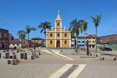
Santana do Paraíso, Municipality in Minas Gerais, Brazil.
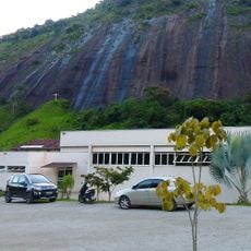
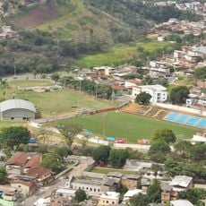
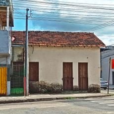
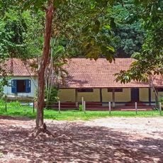
Santana do Paraíso is a municipality in southeastern Minas Gerais, situated near the Vale do Aço metropolitan region. The town sits on rolling terrain at moderate elevation and blends urban and rural areas within its boundaries.
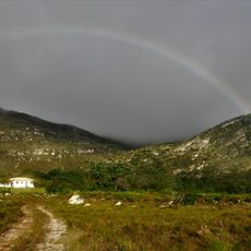
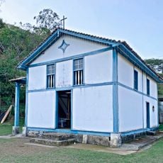
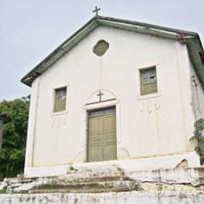
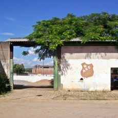
The settlement began as a resting point for travelers between Ferros and Coronel Fabriciano and received official municipality status in 1992. The location was historically marked by the presence of Taquaraçu Waterfalls, which drew visitors over many years.
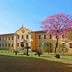
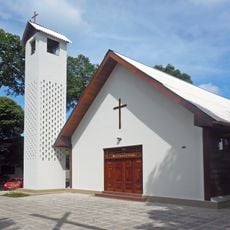
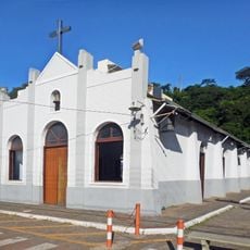
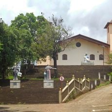
The municipality maintains traditions of Minas Gerais through regional festivals, local music performances, and traditional cuisine that represents the state's heritage.
The area is easily accessible by car and well connected to the Vale do Aço metropolitan region. Visitors will find basic services and accommodations available in the central areas.
The area houses a significant airport and a regional waste processing facility that attracts thousands of workers. These industrial installations make it an important economic hub within the broader region.
Location: Minas Gerais
Inception: April 28, 1992
Elevation above the sea: 320 m
Shares border with: Belo Oriente, Caratinga, Ipaba, Ipatinga, Mesquita
Website: http://santanadoparaiso.mg.gov.br/default.aspx
GPS coordinates: -19.36389,-42.56889
Latest update: December 7, 2025 19:24
Angélica College
18.4 km
Saint Sebastian Mother Church
19.3 km
Estádio Louis Ensch
18.7 km
Centro Cultural Usiminas
15 km
Our Lady of Hope church
15.9 km
Saint Joseph the Worker church
21.2 km
Escola Estadual Professor Pedro Calmon
19.1 km
Shrine of Our Lady of Piety
13.7 km
Carmelo Santíssima Trindade
13.3 km
Grande Hotel Ipatinga
12.4 km
Estádio João Teotônio Ferreira
12.1 km
Morro da Pedreira Environmental Protection Area
11.9 km
Sobrado dos Pereira
19.4 km
Our Lady Help of Christians chapel
19 km
Moviecom Ipatinga
14.7 km
Teatro do Instituto Católico de Minas Gerais
17.4 km
Cine Alvorada
16.5 km
Capela de São José
16 km
Academia Olguin
15.4 km
Santana Matriz Church
2.1 km
Igreja São Vicente de Paulo
7.8 km
Teatro Zélia Olguin
15.1 km
Pontilhão de ferro entre os bairros Centro e Veneza
13.5 km
Capela Nossa Senhora da Vitória
17.3 km
Árvore ficus elástica
14.7 km
Casa dos Ferroviários
13.4 km
Estádio Josemar Soares
16.7 km
Fazendinha
13.2 kmVisited this place? Tap the stars to rate it and share your experience / photos with the community! Try now! You can cancel it anytime.
Discover hidden gems everywhere you go!
From secret cafés to breathtaking viewpoints, skip the crowded tourist spots and find places that match your style. Our app makes it easy with voice search, smart filtering, route optimization, and insider tips from travelers worldwide. Download now for the complete mobile experience.
A unique approach to discovering new places❞
— Le Figaro
All the places worth exploring❞
— France Info
A tailor-made excursion in just a few clicks❞
— 20 Minutes