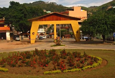
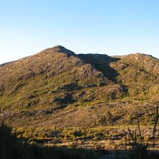
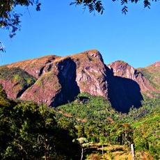
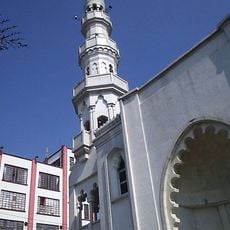
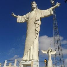
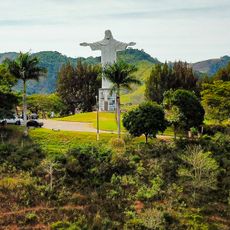
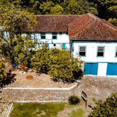
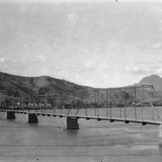
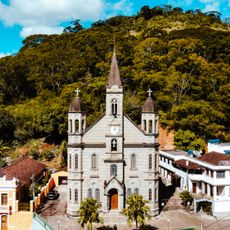
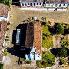
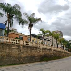
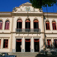
Miradouro, Brazilian municipality located in the state of Minas Gerais
Location: Minas Gerais
Elevation above the sea: 409 m
Shares border with: Ervália, Muriaé, Vieiras, São Francisco do Glória, Fervedouro, Araponga
Website: http://miradouro.mg.gov.br
GPS coordinates: -20.89083,-42.34278
Latest update: March 6, 2025 14:55
Pico da Bandeira
76.3 km
Caparaó National Park
75.5 km
Pico do Cristal
74.4 km
Serra do Brigadeiro State Park
22.4 km
Mesquita Brasil
87.3 km
Cristo da Paz
117.9 km
Cachoeira da Fumaça State Park
82.1 km
Monument to Christ the Redeemer
71 km
Saint Sebastian Cathedral
77.9 km
Santa Rita Farm
101.8 km
Hotel Cataguases
66.5 km
Cine Ritz Cataguases
66 km
Ponte Metálica sobre o Rio Paraíba do Sul
104.2 km
Main Church of Saint John the Baptist
103.9 km
Parish Church of Bom Jesus do Monte
108.1 km
Núcleo Histórico de São Pedro de Itabapoana
90.3 km
Sítio Histórico de Muqui
103.9 km
Pássaros
66.6 km
Casa 129 da Rua Gomes Barbosa
57.6 km
Good Jesus of the Mount church
108.1 km
Festa Nordestina
66.3 km
Balaustrada
58.2 km
Mulher
66.5 km
Casa 119 da Rua Gomes Barbosa
57.6 km
Colégio de Viçosa
57.8 km
Casa Cora Bolivar
58.3 km
Museu de Ciências da Terra Alexis Dorofeef
57.3 km
Historic town center of Cataguases
66.5 kmReviews
Visited this place? Tap the stars to rate it and share your experience / photos with the community! Try now! You can cancel it anytime.
Discover hidden gems everywhere you go!
From secret cafés to breathtaking viewpoints, skip the crowded tourist spots and find places that match your style. Our app makes it easy with voice search, smart filtering, route optimization, and insider tips from travelers worldwide. Download now for the complete mobile experience.
A unique approach to discovering new places❞
— Le Figaro
All the places worth exploring❞
— France Info
A tailor-made excursion in just a few clicks❞
— 20 Minutes