
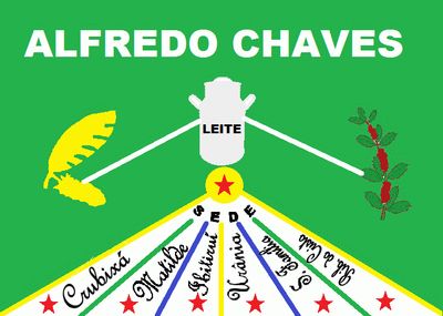
Alfredo Chaves, municipality in the state of Espírito Santo, Brazil
Location: Espírito Santo
Elevation above the sea: 576 m
Shares border with: Anchieta, Domingos Martins, Guarapari, Iconha, Marechal Floriano, Rio Novo do Sul, Vargem Alta
GPS coordinates: -20.63500,-40.75000
Latest update: March 3, 2025 14:04
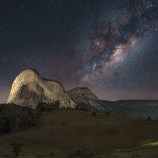
Pedra Azul State Park
37.7 km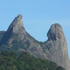
Frade e a Freira Natural Monument
36.3 km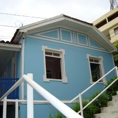
Casa de Cultura Roberto Carlos
45 km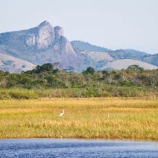
Parque Estadual Paulo César Vinha
35.8 km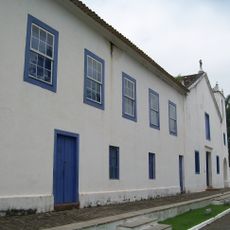
Santuário Nacional de São José de Anchieta
21.8 km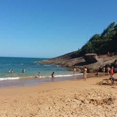
Praia dos Padres
25.1 km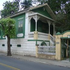
Casa dos Braga
44.6 km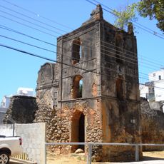
Ruínas da Igreja Nossa Senhora da Conceição
26.9 km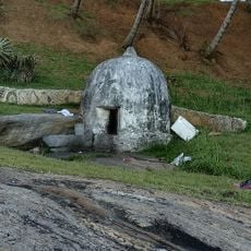
Jesuits' Well
26.9 km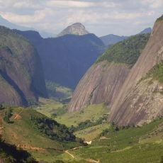
Forno Grande State Park
38.9 km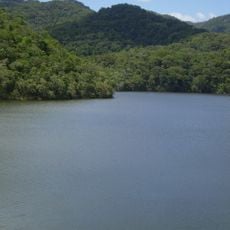
Reserva Biológica Paulo Fraga Rodrigues
48 km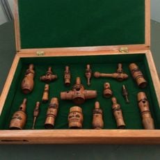
Maurílio Coelho Hunting Hoot Factory
44.8 km
Mata das Flores State Park
43.9 km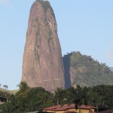
Itabira Natural Monument
40.2 km
Fazenda do Centro
45.1 km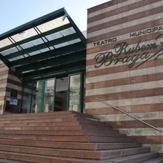
Teatro Municipal Rubem Braga
45.2 km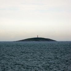
Escalvada Lighthouse
36.5 km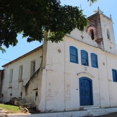
Igreja de Nossa Senhora da Ajuda
33.3 km
Cine Ritz Piúma
23.3 km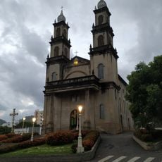
Igreja de Nossa Senhora da Penha
47.4 km
Radium Hotel
26.4 km
Cine Ritz Perim Center
48.4 km
Cine Ritz Guarapari
26.3 km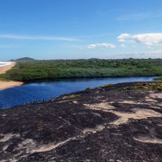
Setiba Environmental Protection Area
37.2 km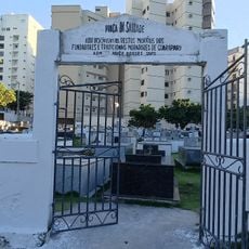
Saint John the Baptist Cemetery
27 km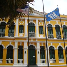
Palácio Bernardino Monteiro
44.6 km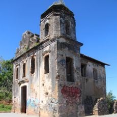
Igreja de Nossa Senhora de Belém
38.7 km
Cine Unimed
46.1 kmReviews
Visited this place? Tap the stars to rate it and share your experience / photos with the community! Try now! You can cancel it anytime.
Discover hidden gems everywhere you go!
From secret cafés to breathtaking viewpoints, skip the crowded tourist spots and find places that match your style. Our app makes it easy with voice search, smart filtering, route optimization, and insider tips from travelers worldwide. Download now for the complete mobile experience.

A unique approach to discovering new places❞
— Le Figaro
All the places worth exploring❞
— France Info
A tailor-made excursion in just a few clicks❞
— 20 Minutes