
Anori, municipality of Brazil
Location: Amazonas
Inception: December 29, 1956
Elevation above the sea: 24 m
Shares border with: Anamã, Beruri, Coari, Codajás, Tapauá
GPS coordinates: -3.77278,-61.64417
Latest update: April 2, 2025 01:30

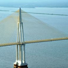
Rio Negro Bridge
188.4 km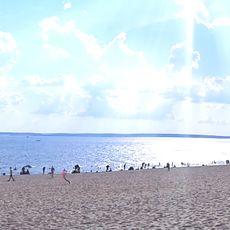
Praia de Ponta Negra
188.7 km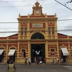
Mercado Adolpho Lisboa
193.4 km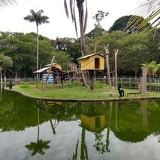
Zoológico do CIGS
192.5 km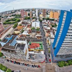
Historic center of Manaus
193 km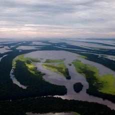
Anavilhanas National Park
173.2 km
Jaú National Park
208.6 km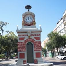
Municipal Clock of Manaus
193.4 km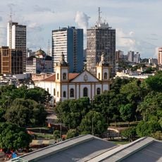
Catedral Metropolitana de Manaus
193 km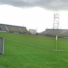
Estádio Ismael Benigno
192.6 km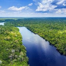
Amazon River
120.9 km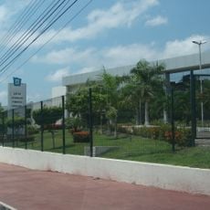
Government of Amazonas
191.4 km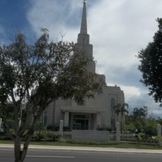
Manaus Brazil Temple
189.5 km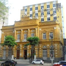
Rio Branco Palace
193.1 km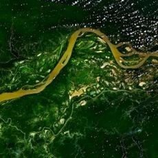
Central Amazon Conservation Complex
165.3 km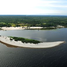
Moon Beach
188.7 km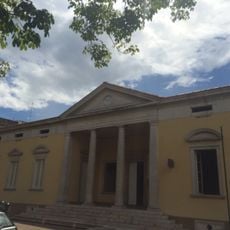
Stadtmuseum von Manaus
192.8 km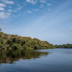
Lower Rio Negro Mosaic
160.1 km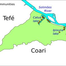
Catuá-Ipixuna Extractive Reserve
281.8 km
Lago do Capanã Grande Extractive Reserve
194.2 km
Museu do Porto
193.1 km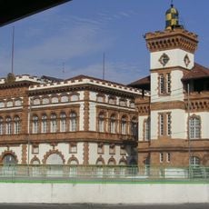
Customs lighthouse
193.2 km
Cinépolis Ponta Negra
190.3 km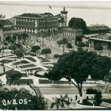
Conjunto arquitetônico Porto de Manaus
193.2 km
Agência Central dos Correios e Telégrafos de Manaus
193.4 km
Cathedral of St. Ann and St. Sebastian, Coari
169.9 km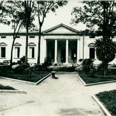
Dom Pedro II Square (Manaus)
192.9 km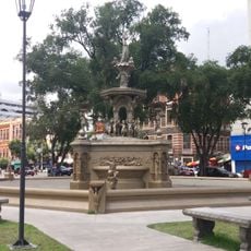
Fountain at Praça da Matriz (Manaus)
193.3 kmReviews
Visited this place? Tap the stars to rate it and share your experience / photos with the community! Try now! You can cancel it anytime.
Discover hidden gems everywhere you go!
From secret cafés to breathtaking viewpoints, skip the crowded tourist spots and find places that match your style. Our app makes it easy with voice search, smart filtering, route optimization, and insider tips from travelers worldwide. Download now for the complete mobile experience.

A unique approach to discovering new places❞
— Le Figaro
All the places worth exploring❞
— France Info
A tailor-made excursion in just a few clicks❞
— 20 Minutes