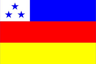
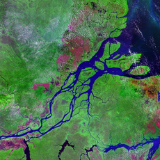
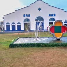
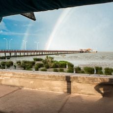
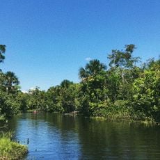
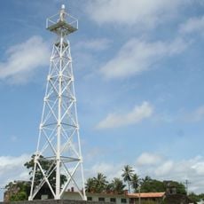
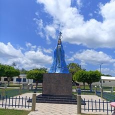
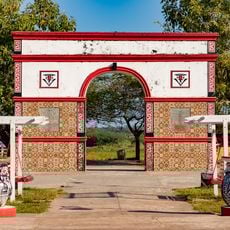
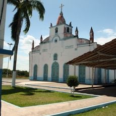
Gurupá, municipality of the state of Pará, Brazil
Location: Pará
Elevation above the sea: 16 m
Shares border with: Afuá, Almeirim, Breves, Mazagão, Melgaço, Porto de Moz, Vitória do Jari
GPS coordinates: -1.40500,-51.64000
Latest update: May 20, 2025 12:01
Milton de Souza Corrêa Stadium
168.4 km
Fortaleza de São José de Macapá
172.9 km
Forte do Castelo de Belém
348.9 km
Marco Zero
168.5 km
Palace of the Eleven Windows
348.8 km
Museu Sacaca
171.9 km
Pau do Presidente
205 km
Caviana
252.9 km
Macapá Central Market
172.8 km
Caxiuanã National Forest
48.8 km
Trapiche Eliezer Levy
173.2 km
Fort of Saint Antony of Gurupá
418 m
Rio Cajari Extractive Reserve
38.6 km
Marajó Archipelago Environmental Protection Area
216.4 km
Jari Ecological Station
153.5 km
Lago Piratuba Biological Reserve
221.2 km
Charapucu State Park
169.5 km
Parazinho Biological Reserve
314 km
Our Lady of the Conception Cathedral, Abaetetuba
308.3 km
Reserva de Desenvolvimento Sustentável Itatupã-Baquiá
97 km
Quilombo Moju-miri
310.7 km
Joanes Lighthouse
354.3 km
Monumento Matriz
301 km
Marco do Sesquicentenário de Cachoeira do Arari
301.4 km
Igreja Matriz Nossa Senhora da Conceição
301 km
Parish Church of Saint Joseph of Macapá
173.3 km
Museu Histórico Joaquim Caetano da Silva
173.3 km
Bust of Luís de Camões
348.8 kmVisited this place? Tap the stars to rate it and share your experience / photos with the community! Try now! You can cancel it anytime.
Discover hidden gems everywhere you go!
From secret cafés to breathtaking viewpoints, skip the crowded tourist spots and find places that match your style. Our app makes it easy with voice search, smart filtering, route optimization, and insider tips from travelers worldwide. Download now for the complete mobile experience.
A unique approach to discovering new places❞
— Le Figaro
All the places worth exploring❞
— France Info
A tailor-made excursion in just a few clicks❞
— 20 Minutes