Enable Location

We need your location to show you interesting places around you

Discover nearby places

Find interesting locations and hidden gems around you

Precise directions

Get accurate directions and distances to places

Your location is never shared with other users. It's only used when you tap the location button.

Hidrolândia

Log in to your account

Start exploring — it's free

Trusted by 61,993 travelers worldwide

Continue with Google
Continue with Apple
or

We will send you a code to connect

By continuing, you accept our Terms and Conditions and our Privacy Policy

Check your inbox

We've sent a pincode in your inbox. Please enter the code below.

Hidrolândia, Municipality in Goiás, Brazil.

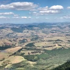
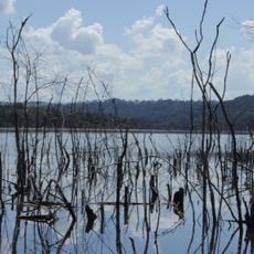
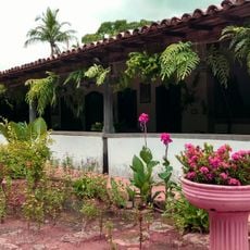
Hidrolândia is a municipality in Goiás, located inland in a rural area characterized by rolling terrain and agricultural land devoted to fruit orchards and pastures. The settlement spreads across an elevated plain where farming and livestock raising form the foundation of its landscape.

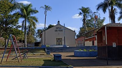
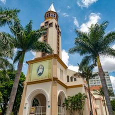
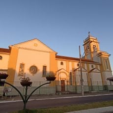
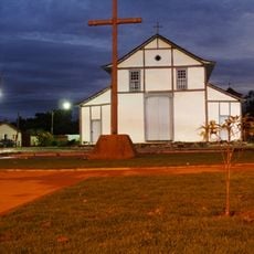
The area took shape in 1895 when residents donated land to build a chapel dedicated to Santo Antônio, establishing the settlement's first center. Over time the growing community expanded its agricultural base and eventually incorporated as a municipality.

The community maintains strong ties to rural traditions, particularly through jaboticaba fruit cultivation that shapes local identity and daily activities. These agricultural practices are woven into how residents organize their lives and celebrate their connection to the land.

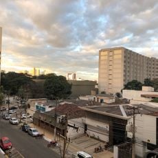
A major highway provides straightforward access to the municipality, connecting it with the state capital and other regional centers for easy travel. Visitors should expect rural infrastructure and allow adequate time for exploration, as distances between attractions are greater than in urban areas.

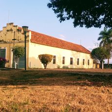
The region supports numerous dairy farms that supply milk products throughout the area, representing an often overlooked economic activity alongside fruit production. This livestock industry gives the region a dual agricultural profile that extends beyond orchard farming.

The community of curious travelers

AroundUs brings together thousands of curated places, local tips, and hidden gems, enriched daily by 60,000 contributors worldwide.

Start exploring
Location
Elevation above the sea
834 m
Shares border with
Goiânia, Aparecida de Goiânia, Aragoiânia, Bela Vista de Goiás, Cromínia, Mairipotaba, Piracanjuba, Professor Jamil, Varjão
GPS coordinates
-16.96194,-49.22889
Latest update
December 7, 2025 20:41
« Hidrolândia - Municipality in Goiás, Brazil » is provided by Around Us (aroundus.com). Images and texts are derived from Wikimedia project under a Creative Commons license. You are allowed to copy, distribute, and modify copies of this page, under the conditions set by the license, as long as this note is clearly visible.

Discover hidden gems everywhere you go!

From secret cafés to breathtaking viewpoints, skip the crowded tourist spots and find places that match your style. Our app makes it easy with voice search, smart filtering, route optimization, and insider tips from travelers worldwide. Download now for the complete mobile experience.

Around Us App Screenshot

A unique approach to discovering new places

Le Figaro

All the places worth exploring

France Info

A tailor-made excursion in just a few clicks

20 Minutes

Around Us
Travel Guide & Maps
Download

Send to your phone

QR Code
1

Open the camera app on your mobile.

2

Point at the QR code with your camera. A notification will appear.

3

Tap the notification to open the link.