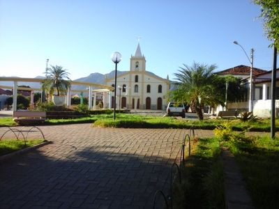
Livramento de Nossa Senhora, Municipal seat in western Bahia, Brazil
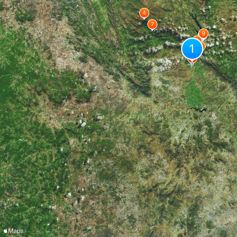
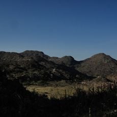
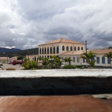
Livramento de Nossa Senhora is a municipality in western Bahia that spreads across a vast territory at approximately 500 meters elevation. The town serves as an administrative center for surrounding rural areas and defines the character of this semiarid region.
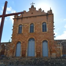
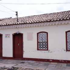
The city was founded as a settlement in the late 18th century and gradually developed into an important administrative center in western Bahia. The construction of the Campo Santo Cemetery in 1949 marked a phase of urban growth and consolidation.
The Municipal Health Conference brings together community representatives annually to evaluate and plan healthcare initiatives for the local population.
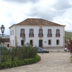
Visitors can find the city administration in the town center, where important information and services are available. The relatively flat to rolling terrain makes navigation straightforward, and the town is easy to explore overall.
The area is crossed by a system of water reservoirs and dams that have supported agricultural activities throughout the region for generations. This water network is crucial for survival in this arid landscape and shapes the local economy.
Location: Bahia
Elevation above the sea: 500 m
Shares border with: Rio de Contas, Caetité, Lagoa Real, Brumado, Dom Basílio, Érico Cardoso, Paramirim
Website: http://livramento.ba.gov.br
GPS coordinates: -13.64278,-41.84083
Latest update: December 7, 2025 09:20
Gruta de Mangabeira
60.7 km
Church of Our Lady of Santana
7.2 km
Pedra da Santana
51.4 km
Casa Anísio Teixeira
84.2 km
Cachoeira Véu de Noiva
4.1 km
Pico das Almas
18.9 km
Caetité Cathedral
84.3 km
Arquivo Público Municipal de Caetité
84.1 km
Museu do Alto Sertão da Bahia
84.3 km
Área de Proteção Ambiental da Serra do Barbado
50.9 km
Cachoeira do Fraga
5.2 km
Igreja de São Benedito
84.5 km
Casa da Fazenda Santa Bárbara
75.8 km
Casa da Fazenda Brejo dos Padres (atual Fazenda Bom Jesus)
97.4 km
Hotel Caetité
84.3 km
Brito Gondim's House
84.2 km
Casa do Coronel Cazuzinha
84.2 km
Parque Municipal Natural da Serra das Almas
15 km
Conjunto Arquitetônico da Cidade de Rio de Contas
7.6 km
Casa da Praça Rodrigues Lima, nº 76
84.3 km
Casa Natal de Abílio César Borges, à rua Barão de Macaúbas, 19
7.7 km
Cachoeira da Velha
25.2 km
Poço das Andorinhas
22.4 km
Casa de Câmara e Cadeia, Rio de Contas
7.6 km
Parish Church of the Blessed Sacrament
7.5 km
Casa à Rua Barão de Macaúbas, N° 11
7.6 km
Casa de Câmara e Cadeia
84.1 km
Historical Archive Municipal Memory of Brumado
65.5 kmReviews
Visited this place? Tap the stars to rate it and share your experience / photos with the community! Try now! You can cancel it anytime.
Discover hidden gems everywhere you go!
From secret cafés to breathtaking viewpoints, skip the crowded tourist spots and find places that match your style. Our app makes it easy with voice search, smart filtering, route optimization, and insider tips from travelers worldwide. Download now for the complete mobile experience.
A unique approach to discovering new places❞
— Le Figaro
All the places worth exploring❞
— France Info
A tailor-made excursion in just a few clicks❞
— 20 Minutes