Itaparica, Island municipality near Salvador, Brazil.
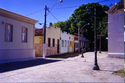
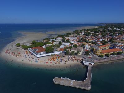
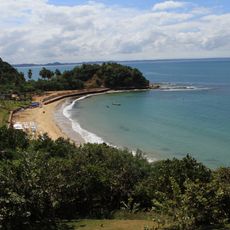
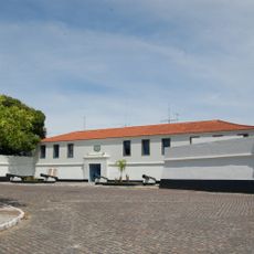
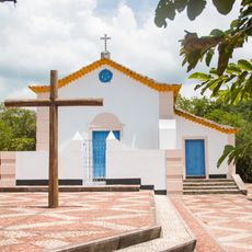
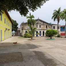
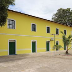
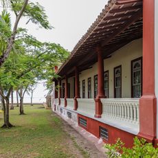
Itaparica is a municipality on the northern tip of Itaparica Island featuring palm-lined beaches and historic colonial structures throughout the town. The settlement centers around a fortified port with architectural elements spanning different periods of development.
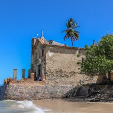
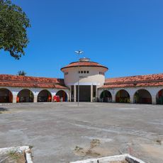
Fort São Lourenço was built during the Dutch occupation between 1600 and 1647 and became the center of settlement. The structure marked the start of stable European presence on the island and shaped the place's commercial development.
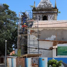
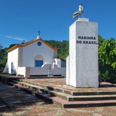
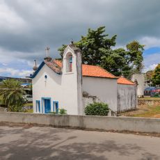
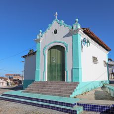
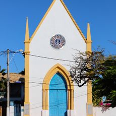
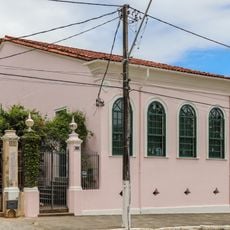
The Historic Center holds the Church of Saint Lawrence and the Parish Church of the Blessed Sacrament, both protected as national landmarks. These buildings define the town's character and reflect the spiritual importance the place holds for residents.
Regular ferry services connect the place to Salvador, with passenger departures near Mercado Modelo and vehicle departures from Bom Despacho. The crossing takes about half an hour with multiple daily services that vary by season and day of the week.
The Ingá-Açu plantation on the island housed Brazil's first steam engine, marking a turning point in the country's technological history. This early sign of industrialization led to broader economic and social changes that rippled through the region over time.
Location: Bahia
Inception: October 25, 1831
Elevation above the sea: 21 m
Part of: Itaparica Island, Greater Salvador
Shares border with: Vera Cruz, Salinas da Margarida, Salvador
Website: http://itaparica.ba.gov.br
GPS coordinates: -12.88778,-38.67889
Latest update: December 22, 2025 10:12
Terreiro Omo Ilê Agbôula
2.6 km
Praia da Ponta de Nossa Senhora
9.1 km
Forte de São Lourenço
1.2 km
Igreja de Nossa Senhora de Guadalupe
9.2 km
Igreja de São Lourenço
922 m
Conjunto Arquitetônico, Urbanístico e Paisagístico, inclusive a Igreja Matriz do Santíssimo Sacramento
901 mPraia da Viração
10 km
Ilha dos Frades lighthouse
9.2 km
Capela de Santo Antônio dos Velasques
10.3 km
Capela de Nossa Senhora de Bom Despacho
7.7 km
Capela do Santo Antonio dos Navegantes
321 m
Igreja de Nossa Senhora da Piedade
1.1 km
Fonte da Bica
474 mPonta da Areia
2.7 km
Casa à Rua Luís da Gran
928 m
Casa de João Ubaldo Ribeiro
1 km
Sobrado Tenente João das Botas
952 m
Mercado Municipal de Itaparica
795 mCentro Histórico de Itaparica
1 km
Casa do Pedreira
797 m
Casa no Campo Formoso, 80
620 mPraia de Ponta de Areia
1.5 kmPraia do Brasileirinho
458 mPraia Ponta de Nossa Senhora de Guadalupe
9.2 kmPraia do Tobar
12.2 kmPraia do Forte Itaparica
1.2 kmScenic viewpoint
9.4 kmScenic viewpoint
9.1 kmVisited this place? Tap the stars to rate it and share your experience / photos with the community! Try now! You can cancel it anytime.
Discover hidden gems everywhere you go!
From secret cafés to breathtaking viewpoints, skip the crowded tourist spots and find places that match your style. Our app makes it easy with voice search, smart filtering, route optimization, and insider tips from travelers worldwide. Download now for the complete mobile experience.
A unique approach to discovering new places❞
— Le Figaro
All the places worth exploring❞
— France Info
A tailor-made excursion in just a few clicks❞
— 20 Minutes