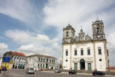
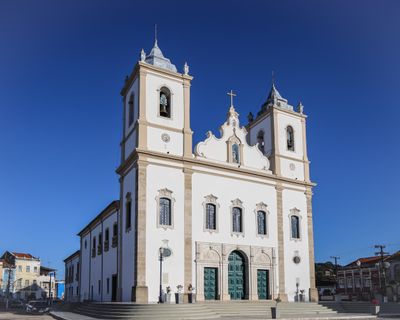
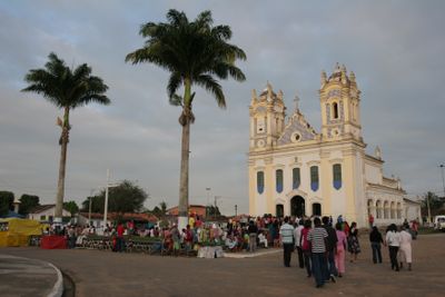
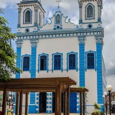
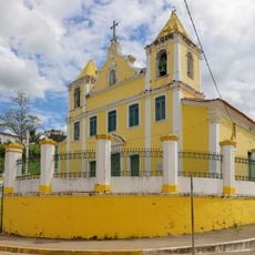
Santo Amaro, Colonial municipality in Recôncavo Baiano, Brazil
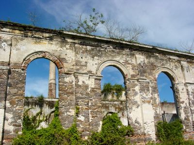
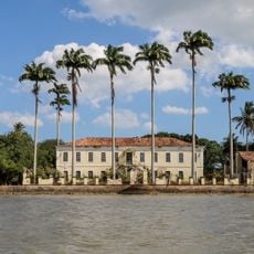
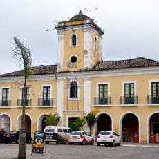
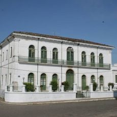
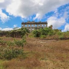
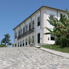
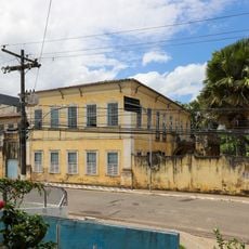
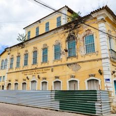
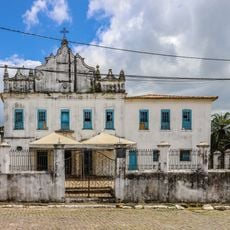
Santo Amaro is a municipality in the Recôncavo Baiano region of Bahia, situated along the Subaé River. The area features rolling terrain with a mix of rural land, small settlements, and historic colonial structures scattered throughout.
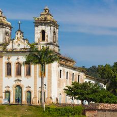
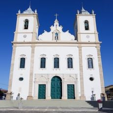
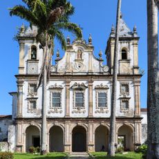
The settlement was founded in 1557 when Portuguese colonizers established sugarcane plantations that shaped the region's economy. Benedictine monks contributed significantly to building religious and social institutions during the 1600s.
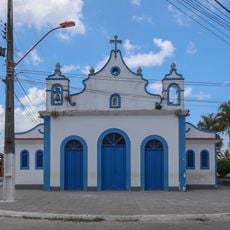
The town is deeply connected to Afro-Brazilian religious practices that shape daily community life. Visitors can observe how African and Catholic traditions blend in local celebrations and rituals.
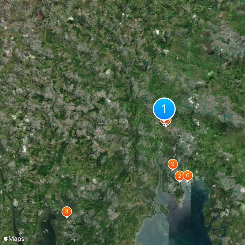
The town is surrounded by agricultural areas and is best explored by car, since public transportation is limited. Visitors should note that most services and infrastructure are concentrated in the main town center.
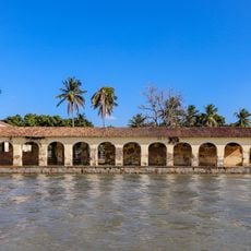
The area played a central role in Brazil's early sugar cultivation history and is the birthplace of several important figures in Afro-Brazilian culture. These connections to key moments in Brazilian history make it an overlooked destination for those interested in cultural heritage.
Location: Bahia
Elevation above the sea: 184 m
Shares border with: Conceição do Jacuípe, Amélia Rodrigues, Cachoeira, Feira de Santana, Madre de Deus, São Francisco do Conde, São Gonçalo dos Campos, São Sebastião do Passé, Saubara
Website: http://santoamaro.ba.gov.br
GPS coordinates: -12.54694,-38.71194
Latest update: December 6, 2025 21:23
Terreiro Zogbodo Male Bogum Seja Unde (Roça do Ventura)
25.8 km
Sobrado e Fábrica do Engenho Cajaíba
9.8 km
Asepò Erán Opé Olùwa
27.7 km
Parish Church of Santiago, Iguape
22.2 km
Igreja Matriz de Nossa Senhora da Purificação
148 m
Usina Cinco Rios
17 km
Town Hall and Prison of Santo Amaro
417 m
Capela de Nossa Senhora do Vencimento
16.4 km
Convento e Igreja de Santo Antônio e Capela da Ordem Terceira
10.1 km
Igreja do Seminário de Belém
25.1 km
Church of Our Lady of Protection
377 m
Santa Casa de Misericórdia de Santo Amaro
111 m
Escola Agrícola de São Bento das Lajes
7.6 km
Solar Paraíso
1.5 km
Terreiro Rumpame Ayono Runtólogi
27.8 km
Solar do Conde de Subaé
1.3 km
Terreiro Aganjú Didê (Ici Mimó)
25.5 km
Terreiro Ogodô Dey
27.3 km
Casa à Rua da Matriz, 9
229 m
Igreja Matriz de Nossa Senhora da Oliveira
16.3 km
Retreat and Church of Our Lady of Humility
497 m
Capela de Nossa Senhora da Conceição da Praia
9.8 km
Fábrica do Engenho Cajaíba
9.8 km
Igreja de Nossa Senhora do Monte
14.9 km
Bust of Alexandre Gomes de Argollo Ferrão
10 km
Igreja do Senhor Santo Amaro
1.5 km
Igreja de Nossa Senhora do Rosário
949 m
Sobrado do Engenho Cajaíba
9.8 kmReviews
Visited this place? Tap the stars to rate it and share your experience / photos with the community! Try now! You can cancel it anytime.
Discover hidden gems everywhere you go!
From secret cafés to breathtaking viewpoints, skip the crowded tourist spots and find places that match your style. Our app makes it easy with voice search, smart filtering, route optimization, and insider tips from travelers worldwide. Download now for the complete mobile experience.
A unique approach to discovering new places❞
— Le Figaro
All the places worth exploring❞
— France Info
A tailor-made excursion in just a few clicks❞
— 20 Minutes