São Raimundo Nonato, Administrative center in southern Piauí, Brazil.
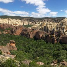
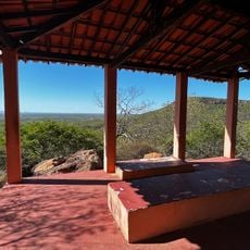
São Raimundo Nonato is a municipality in southern Piauí, located at approximately 393 meters above sea level across roughly 2,400 square kilometers. The city serves as an administrative center and gateway for visits to archaeological sites and the nearby Serra da Capivara National Park.
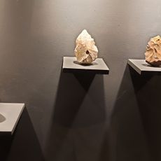
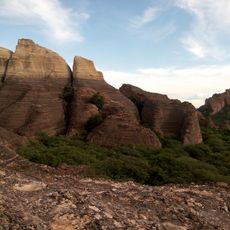
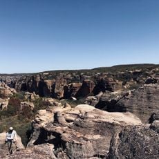
The municipality was established in 1912 in an area containing archaeological evidence of human settlements dating back thousands of years. This deep past makes the surrounding region an important research area for scientists studying early settlement in South America.
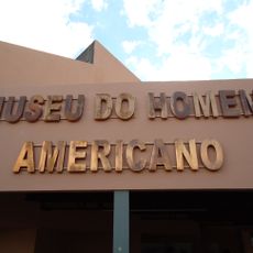
The Museum of the American Man holds extensive collections of fossils, archaeological finds, plants, and animals gathered through collaboration between French and Brazilian researchers. This collection shows how deeply scientific inquiry into the region connects with international institutions.
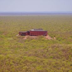
The Serra da Capivara Airport provides direct access to the city, making arrival convenient for visitors. Local information offices can help plan visits to the national parks and archaeological sites in the surrounding area.
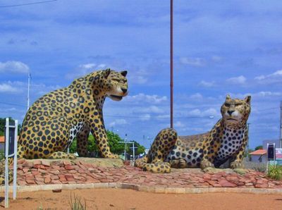
A striking monument called the Cruzeiro rises about 40 meters in the city and features stained glass windows and sculptures of endangered regional animals like the giant seriema. This landmark blends religious symbolism with conservation messaging in an unexpected way.
The community of curious travelers
AroundUs brings together thousands of curated places, local tips, and hidden gems, enriched daily by 60,000 contributors worldwide.