Enable Location

We need your location to show you interesting places around you

Discover nearby places

Find interesting locations and hidden gems around you

Precise directions

Get accurate directions and distances to places

Your location is never shared with other users. It's only used when you tap the location button.

União dos Palmares

Log in to your account

Start exploring — it's free

Trusted by 62,574 travelers worldwide

Continue with Google
Continue with Apple
or

We will send you a code to connect

By continuing, you accept our Terms and Conditions and our Privacy Policy

Check your inbox

We've sent a pincode in your inbox. Please enter the code below.

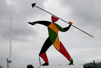
União dos Palmares, Historical municipality in eastern Alagoas, Brazil

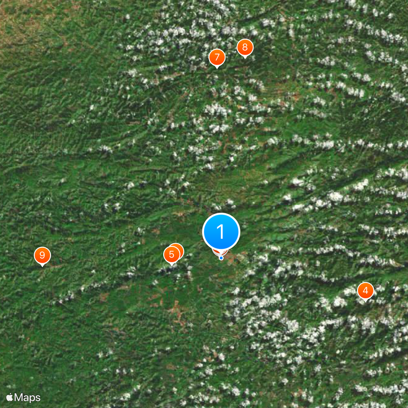
União dos Palmares is a municipality in eastern Alagoas that spreads across terrain with varying elevations and landscape features. The town sits between higher plateaus and lowland areas, with Serra da Barriga park marking a notable geographic focal point.

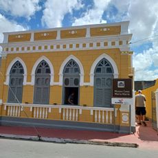
The settlement started in the 1700s as a small village and gradually developed into a town over time. The name was changed in 1944 to honor the famous quilombo community that had existed in the region centuries earlier.

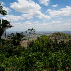
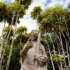
The Serra da Barriga site holds a memorial dedicated to the quilombo community, connecting local residents and visitors through the story of resistance and freedom. The place functions today as a space for learning and remembrance, drawing people interested in this pivotal chapter of Brazilian history.

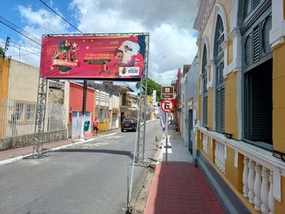
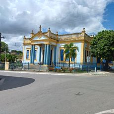
Walking is the best way to explore the town, as the main areas are fairly compact and allow you to feel the local rhythm. Serra da Barriga park is easily accessible and makes a good focus point for a day visit.

The area was home to one of the most significant freedom movements in Brazilian history, drawing people from different regions together. This historical connection still shapes the character of the place today, giving it a deeper meaning for visitors.

The community of curious travelers

AroundUs brings together thousands of curated places, local tips, and hidden gems, enriched daily by 60,000 contributors worldwide.

Start exploring
Location
Inception
1831
Elevation above the sea
155 m
Shares border with
Santana do Mundaú, Capela, Branquinha, Murici, São José da Laje, Chã Preta, Viçosa, Flexeiras, Joaquim Gomes, Ibateguara
GPS coordinates
-9.16278,-36.03194
Latest update
December 20, 2025 00:36
« União dos Palmares - Historical municipality in eastern Alagoas, Brazil » is provided by Around Us (aroundus.com). Images and texts are derived from Wikimedia project under a Creative Commons license. You are allowed to copy, distribute, and modify copies of this page, under the conditions set by the license, as long as this note is clearly visible.

Discover hidden gems everywhere you go!

From secret cafés to breathtaking viewpoints, skip the crowded tourist spots and find places that match your style. Our app makes it easy with voice search, smart filtering, route optimization, and insider tips from travelers worldwide. Download now for the complete mobile experience.

Around Us App Screenshot

A unique approach to discovering new places

Le Figaro

All the places worth exploring

France Info

A tailor-made excursion in just a few clicks

20 Minutes

Around Us
Travel Guide & Maps
Download

Send to your phone

QR Code
1

Open the camera app on your mobile.

2

Point at the QR code with your camera. A notification will appear.

3

Tap the notification to open the link.