
Santana do São Francisco, Brazilian municipality in the state of Sergipe
Location: Sergipe
Elevation above the sea: 44 m
GPS coordinates: -10.29083,-36.60778
Latest update: March 27, 2025 02:29
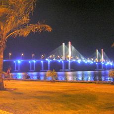
Ponte Aracaju-Barra dos Coqueiros
82.5 km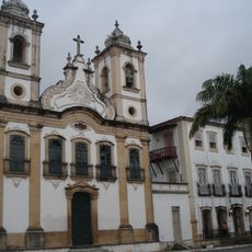
Church of Our Lady of Chains
2.4 km
Dunas de Marapé
67.2 km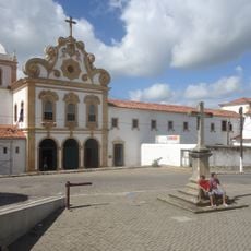
Church of Our Lady of the Angels
2.6 km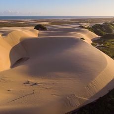
Santa Isabel Biological Reserve
40.1 km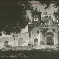
Church of Sant'Aninha
83.3 km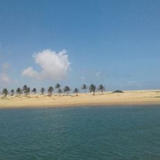
Piaçabuçu Environmental Protection Area
28 km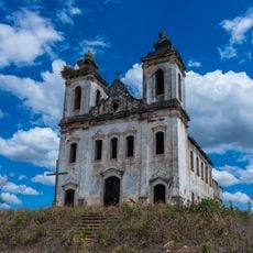
Chapel of the Nossa Senhora da Penha Sugar Plantation
82.4 km
Igreja Matriz do Santuário Nossa Senhora Divina Pastora
73.3 km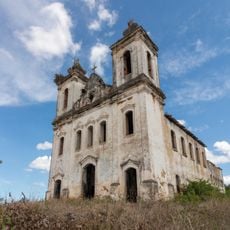
Capela do Engenho Nossa Senhora da Penha
82.4 km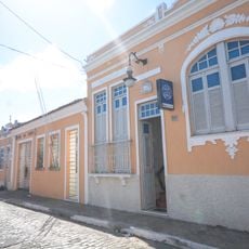
Casa do Barão do Penedo
2.4 km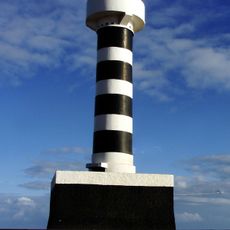
Coruripe Lighthouse
53.8 km
Teatro São Pedro
83.8 km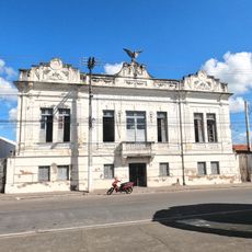
Grupo Escolar Coronel João Fernandes de Brito
26.3 km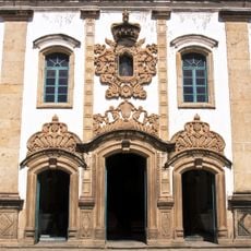
Igreja de São Gonçalo Garcia
2.6 km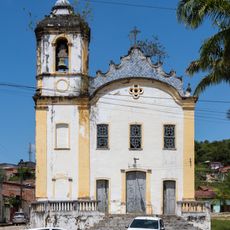
Architectural and Landscape Ensemble of Laranjeiras, Sergipe
83.8 km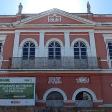
Theatro Sete de Setembro
2.5 km
Cinesercla Shopping Prêmio
81.2 km
Igreja do Rosário
4.4 km
Parish Church of Divina Pastora
73.3 km
Quilombo Mussuca
77.5 km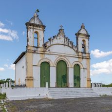
Igreja do Bom Jesus dos Navegantes
83.8 km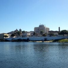
Conjunto arquitetônico, paisagístico e urbanístico de Penêdo, Alagoas
2.4 km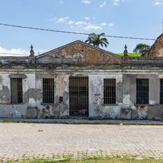
Former Police Station of Laranjeiras
83.8 km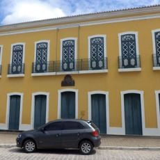
Paço Imperial
2.3 km
José Rollemberg Leite City Park
82.7 km
Catedral Diocesana
2.4 km
Colégio Estadual Professora Zizinha Guimarães
83.8 kmReviews
Visited this place? Tap the stars to rate it and share your experience / photos with the community! Try now! You can cancel it anytime.
Discover hidden gems everywhere you go!
From secret cafés to breathtaking viewpoints, skip the crowded tourist spots and find places that match your style. Our app makes it easy with voice search, smart filtering, route optimization, and insider tips from travelers worldwide. Download now for the complete mobile experience.

A unique approach to discovering new places❞
— Le Figaro
All the places worth exploring❞
— France Info
A tailor-made excursion in just a few clicks❞
— 20 Minutes