Rio Real, Administrative division in Bahia, Brazil.
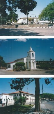
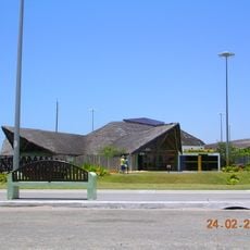
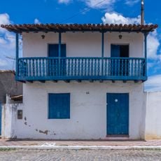
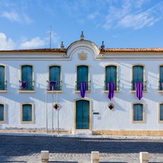
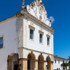
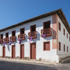
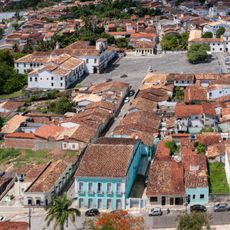
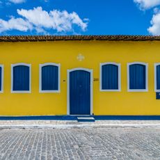
Rio Real is an administrative division in Bahia state in northeastern Brazil, covering both coastal areas and inland regions. The municipality encompasses multiple neighborhoods and administrative zones within its designated boundaries.
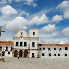
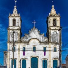
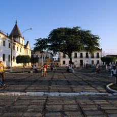
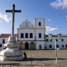
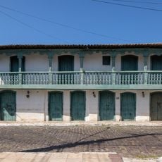
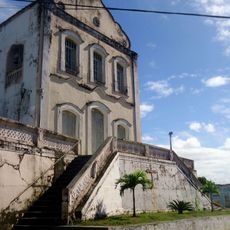
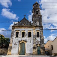
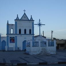
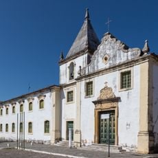
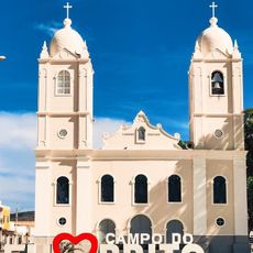
The region originated from early Portuguese colonial settlements in Bahia and developed into a formal administrative area through Brazil's territorial organization processes. These developments shaped its modern structure and management.
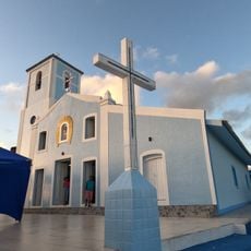
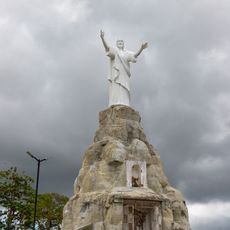
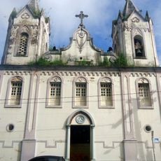
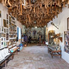
The local community celebrates regional traditions through festivals and everyday customs that show the mix of Indigenous, European, and African heritage present in daily life.
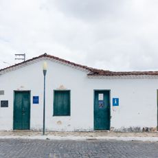
The area is best explored on foot or by car, with several routes connecting different neighborhoods throughout the region. Local administration provides basic services and infrastructure for visitors and residents.
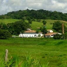
The area is known for agricultural work that supports Bahia's economy, with local farmers managing different crops across the territory. This farming activity is a defining part of local life and identity.
GPS coordinates: -11.48698,-37.93175
Latest update: December 7, 2025 19:26
São Francisco Square in the Town of São Cristóvão
95.2 km
Massarandupió
92.8 km
Parish Church of Our Lady of Victory
95 km
Aracaju Oceanarium
102.3 km
Misericórdia Hospital and Church
95.2 km
Church and Convent of Santa Cruz
95.1 km
Sobrado à Rua das Flores
95 km
Fachadas Revestidas de Azulejos Portugueses--Rua Capitão Salomão nº. 67
59 km
Praia de Porto do Sauipe
100.2 km
Igreja da Ordem Terceira do Carmo (São Cristóvão)
94.9 km
Museu Historico de Sergipe
95.2 km
Church and Convent of Mount Carmel
94.9 km
Igreja Matriz de Nossa Senhora do Monte
48.4 km
Sobrado à Rua Castro Alves, 2
95.2 km
Usina São Félix
52.3 km
Cristo Redentor
97 km
Igreja de Nossa Senhora do Rosário
58.8 km
Sobrado at Rua da Matriz
95.1 km
Parish Church of Santa Luzia do Itanhy
54.9 km
Church of Our Lady of Protection of the Mulattoes
95.1 km
Igreja e Cruzeiro – Crisópolis
24 km
Igreja e Casa da Misericórdia
95.2 km
Architectural, Urban and Landscape Set of São Cristóvão
95.2 km
Mother Church of Nossa Senhora da Boa Hora and São Roque (Campo do Brito/SE)
95.2 km
Igreja Matriz de Senhora Santana
84.4 km
Casa do Folclore "Zeca de Norberto"
95.2 km
Museu dos Ex-votos de Sergipe
95.9 km
Rua Messias Prado, 20
95 kmVisited this place? Tap the stars to rate it and share your experience / photos with the community! Try now! You can cancel it anytime.
Discover hidden gems everywhere you go!
From secret cafés to breathtaking viewpoints, skip the crowded tourist spots and find places that match your style. Our app makes it easy with voice search, smart filtering, route optimization, and insider tips from travelers worldwide. Download now for the complete mobile experience.
A unique approach to discovering new places❞
— Le Figaro
All the places worth exploring❞
— France Info
A tailor-made excursion in just a few clicks❞
— 20 Minutes