Paulo Afonso, Municipality near São Francisco River in Bahia, Brazil
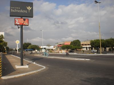
Paulo Afonso is a municipality along the São Francisco in Bahia, spreading across rolling terrain cut by river bends and tributary channels. The urban area includes residential neighborhoods scattered along the riverbanks, while industrial facilities and protected natural zones shape the surrounding landscape.
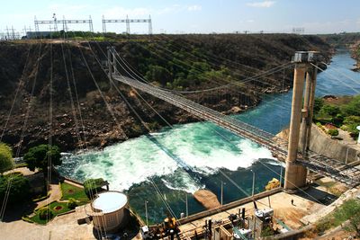
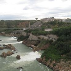
The town emerged in the mid-1950s around the construction sites of major power plants that supplied electricity to northeastern Brazil. Engineers and workers from across the country moved into the region, transforming a thinly populated area into an industrial center.
The town takes its name from Saint Anthony of Padua, reflecting the Portuguese tradition of Jesuit missionaries in the region. Local festivals and riverside gatherings show how residents have adapted their way of life around the river's power and seasonal rhythms.
Visitors reach the area by long-distance roads and a small regional airport linking the town to larger centers across the northeast. Temperatures stay warm year-round, so light clothing and sun protection are advisable for trips along the riverbanks.
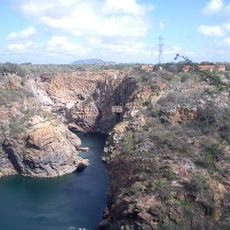
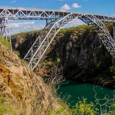
Deep gorges cut through the protected natural monument within the town limits, where the riverbed meets exposed bedrock and waterfalls thunder down over multiple tiers. Locals recall that steamboats once navigated this stretch before the dams reshaped the current.
The community of curious travelers
AroundUs brings together thousands of curated places, local tips, and hidden gems, enriched daily by 60,000 contributors worldwide.