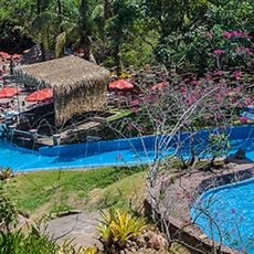
Crato, Commercial center in southern Ceará, Brazil
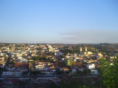
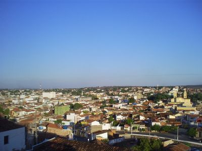
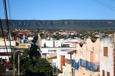
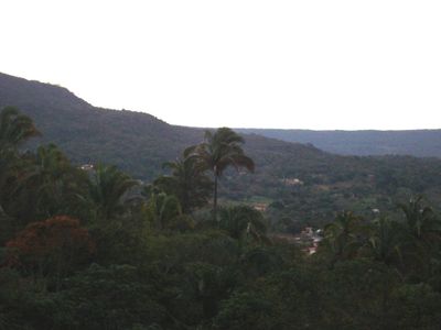
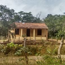
Crato is a commercial city in southern Ceará, sitting at about 426 meters (1,400 feet) above sea level across roughly 1,117 square kilometers (430 square miles) near the Balança Mountains. The municipality spreads over hilly terrain with residential neighborhoods, business streets, and farming areas where sugarcane and cotton grow.
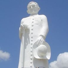
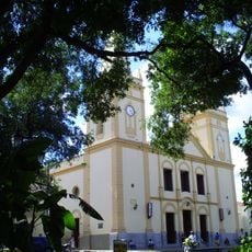
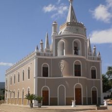
A Capuchin friar named Carlos Maria de Ferrara founded the settlement in 1764 at a place where indigenous Kariri lived. The town received its official status in 1817 and gradually grew into a regional trade hub.
The name likely comes from the indigenous Kariri language and recalls that people lived in this area long before colonial times. Today you see students in the streets, as several higher education institutions draw young people from across the region.
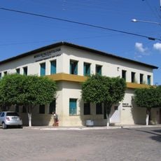
The Cariri Metro links the municipality with neighboring Juazeiro do Norte and makes it easier to move around the area. The population is about 130,000 people, and central neighborhoods offer access to shops, services, and educational facilities.
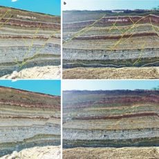
Gypsum and marble are extracted in the area, and you can see quarries and processing plants on the outskirts. Rice and cattle also belong to the local economy and shape the rural patches outside the center.
Location: Ceará
Elevation above the sea: 426 m
Shares border with: Barbalha, Farias Brito, Caririaçú, Exu, Juazeiro do Norte, Moreilândia, Nova Olinda, Santana do Cariri
Website: http://crato.ce.gov.br
GPS coordinates: -7.23389,-39.40889
Latest update: December 4, 2025 23:44
Statue of Father Cícero
10.6 km
Santana Formation
12.6 km
Vale dos Dinossauros
140.4 km
Estádio Mauro Sampaio
10.1 km
Floresta Nacional do Araripe-Apodi
34.8 km
Estádio Cornélio de Barros
99 km
Estádio Antônio Mariz
141.4 km
Museu de Paleontologia da Universidade Regional do Cariri
36.5 km
Mother Church of the Immaculate Conception
182.5 km
BINGO
128.3 km
Catedral de Nossa Senhora da Penha da França de Crato
466 m
Pico do Jabre State Park
223.5 km
Igreja de Nossa Senhora do Rosário
178.3 km
Igreja do Rosário de Barbalha
14.5 km
Açude Engenheiro Arcoverde
204.4 km
Castanhão Ecological Station
206.6 km
Casa, Capela e Sobrado da Fazenda Acauã
152.7 km
Casa do Barão do Crato
110.6 km
Igreja de Nossa Senhora do Rosário e Cruzeiro do Adro
184.9 km
Cine Teatro Guarany
158.7 km
Teatro da Ribeira dos Icós
110.6 km
Igreja do Senhor do Bonfim
110.6 km
Igreja de Nossa Senhora da Expectação
110.7 km
Igreja Matriz de Santana
98.1 km
Casa de Câmara e Cadeia
110.6 km
Catedral de Nossa Senhora da Piedade
101.7 km
Old Petrolandia Church
235.5 km
Igreja de Nossa Senhora do Desterro
210.8 kmReviews
Visited this place? Tap the stars to rate it and share your experience / photos with the community! Try now! You can cancel it anytime.
Discover hidden gems everywhere you go!
From secret cafés to breathtaking viewpoints, skip the crowded tourist spots and find places that match your style. Our app makes it easy with voice search, smart filtering, route optimization, and insider tips from travelers worldwide. Download now for the complete mobile experience.
A unique approach to discovering new places❞
— Le Figaro
All the places worth exploring❞
— France Info
A tailor-made excursion in just a few clicks❞
— 20 Minutes