Enable Location

We need your location to show you interesting places around you

Discover nearby places

Find interesting locations and hidden gems around you

Precise directions

Get accurate directions and distances to places

Your location is never shared with other users. It's only used when you tap the location button.

Ananindeua

Log in to your account

Start exploring — it's free

Trusted by 61,994 travelers worldwide

Continue with Google
Continue with Apple
or

We will send you a code to connect

By continuing, you accept our Terms and Conditions and our Privacy Policy

Check your inbox

We've sent a pincode in your inbox. Please enter the code below.

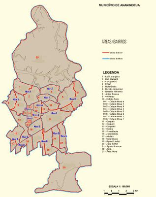
Ananindeua, Administrative division in Pará, Brazil

Ananindeua is a municipality in Pará state and part of the Belém metropolitan region, just a few kilometers from the Amazon River. It spreads across neighborhoods with dense development and areas with lower housing density crossed by smaller waterways.

The municipality gained its municipal status on January 3, 1944, after growing around a station on the Bragança Railway line. This rail connection encouraged settlement and exchange with surrounding towns.

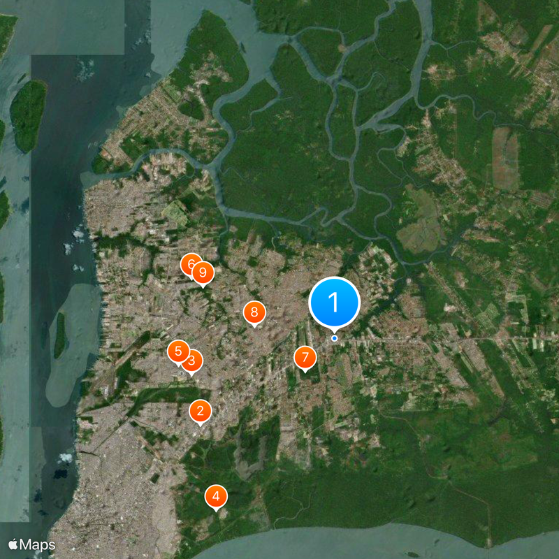
The name comes from Tupi and refers to the Anani tree, whose resin was once used to waterproof boats. This linguistic link recalls how important the river has been for people in the region.

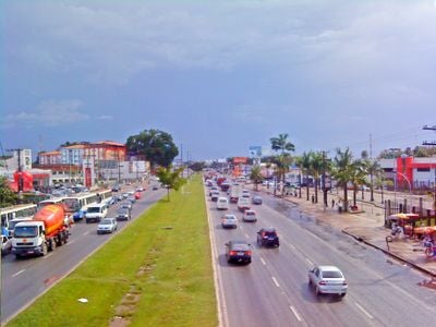
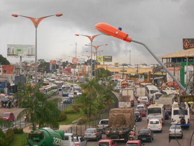
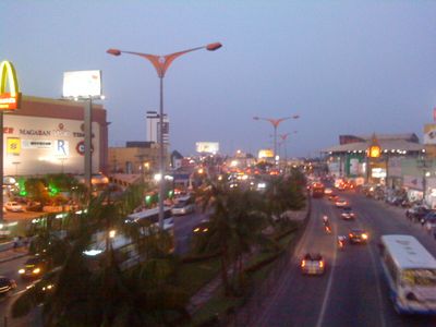
The BR-316 highway connects the municipality to neighboring cities, and regular bus lines run throughout the metropolitan region. Local routes also reach neighborhoods near the waterways and the river islands.

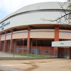
The municipality includes nine river islands where communities live with basic services such as schools. These islands connect the daily life of residents to the rhythm of the water and the tides.

The community of curious travelers

AroundUs brings together thousands of curated places, local tips, and hidden gems, enriched daily by 60,000 contributors worldwide.

Start exploring
Location
Inception
January 3, 1944
Elevation above the sea
20 m
Shares border with
Benevides, Belém, Marituba, Santa Bárbara do Pará
GPS coordinates
-1.36583,-48.37194
Latest update
December 13, 2025 19:59
« Ananindeua - Administrative division in Pará, Brazil » is provided by Around Us (aroundus.com). Images and texts are derived from Wikimedia project under a Creative Commons license. You are allowed to copy, distribute, and modify copies of this page, under the conditions set by the license, as long as this note is clearly visible.

Discover hidden gems everywhere you go!

From secret cafés to breathtaking viewpoints, skip the crowded tourist spots and find places that match your style. Our app makes it easy with voice search, smart filtering, route optimization, and insider tips from travelers worldwide. Download now for the complete mobile experience.

Around Us App Screenshot

A unique approach to discovering new places

Le Figaro

All the places worth exploring

France Info

A tailor-made excursion in just a few clicks

20 Minutes

Around Us
Travel Guide & Maps
Download

Send to your phone

QR Code
1

Open the camera app on your mobile.

2

Point at the QR code with your camera. A notification will appear.

3

Tap the notification to open the link.