
Jaguaribara, Brazilian municipality in the state of Ceará
Location: Ceará
Elevation above the sea: 92 m
Shares border with: Alto Santo, Iracema, Jaguaretama, Jaguaribe, Morada Nova, Pereiro
GPS coordinates: -5.65778,-38.62000
Latest update: March 16, 2025 20:24

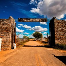
Vale dos Dinossauros
130.1 km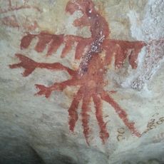
Lajedo de Soledade
87.7 km
Memorial da Resistência Mossoroense
150.1 km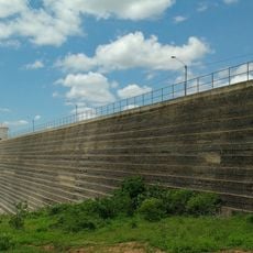
Santa Cruz Dam
91.7 km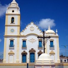
Igreja Matriz de Nossa Senhora do Rosário (Aracati)
154.3 km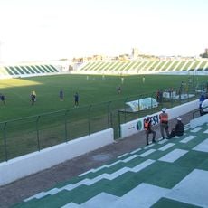
Estádio Antônio Mariz
129.9 km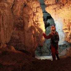
Furna Feia National Park
139.9 km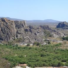
Quixadá Monoliths Natural Monument
88.4 km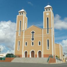
Mother Church of the Immaculate Conception
68.4 km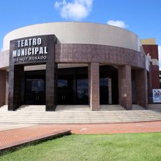
Teatro Municipal Dix-Huit Rosado
150.5 km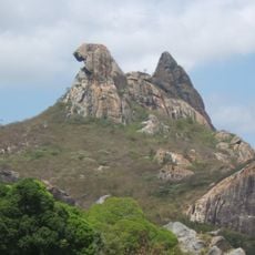
Pedra da Galinha Choca
89.9 km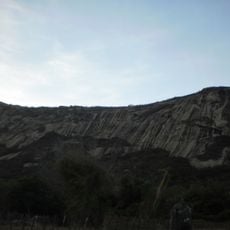
Serra do Lima
121.2 km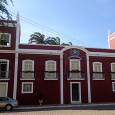
Town Hall and Prison
154 km
Museu Histórico Jacinto de Sousa
88.6 km
Castanhão Ecological Station
14.1 km
Casa, Capela e Sobrado da Fazenda Acauã
141.1 km
Casa do Barão do Crato
87 km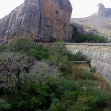
Cedro's Dam
90.3 km
Igreja de Nossa Senhora do Rosário dos Pretos (Aracati)
153.6 km
Teatro da Ribeira dos Icós
87 km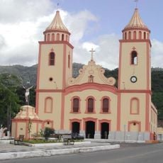
Igreja Matriz de Baturité
150.9 km
Igreja do Senhor do Bonfim
87 km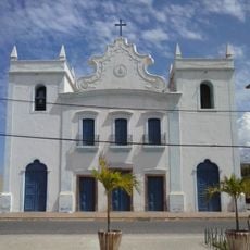
Igreja de Nossa Senhora dos Prazeres
153.5 km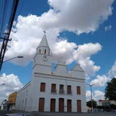
Igreja Matriz de Santana
108.4 km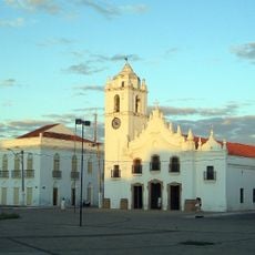
Igreja de Nossa Senhora da Expectação
87 km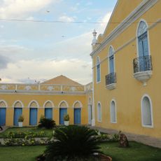
Casa de Câmara e Cadeia
87 km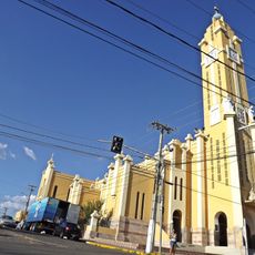
Catedral de Nossa Senhora da Piedade
137 km
Cine Pax, Mossoró
150.6 kmVisited this place? Tap the stars to rate it and share your experience / photos with the community! Try now! You can cancel it anytime.
Discover hidden gems everywhere you go!
From secret cafés to breathtaking viewpoints, skip the crowded tourist spots and find places that match your style. Our app makes it easy with voice search, smart filtering, route optimization, and insider tips from travelers worldwide. Download now for the complete mobile experience.

A unique approach to discovering new places❞
— Le Figaro
All the places worth exploring❞
— France Info
A tailor-made excursion in just a few clicks❞
— 20 Minutes